Tag Archives: ArcGIS Dashboards

UK Centre for Ecology & Hydrology
From collecting data in the field to managing large-scale, nationwide survey projects, ArcGIS provides us with a highly efficient and accurate digital process for monitoring environmental change.
Continue Reading
City of Doncaster Council
With real-time, accurate data on litter collections and the condition of bins, we are improving the efficiency, quality and sustainability of our litter services.
Continue Reading
NHS Fife
Managing our natural capital and meeting our sustainability responsibilities is so much easier with our ArcGIS Greenspaces Map.
Continue Reading
Jurassic Fibre
We have put ArcGIS at the heart of our business to help our teams collaborate effectively and accelerate the rollout of ultrafast broadband.
Continue ReadingGet started with ArcGIS Dashboards
ArcGIS Dashboards are a staple when it comes to the Esri toolbox. Over the years, the user interface has been developed and there is a continually growing set of capabilities. Their purpose remains the same: to help users make decisions, … Continue reading
Continue Reading
Align JV
Situational awareness is being delivered through GIS and BIM integration transforming project delivery
Continue Reading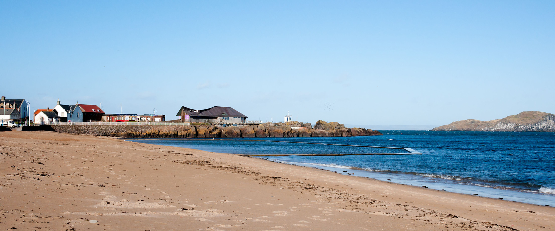
East Lothian Council
Through a highly successful collaboration with EDINA at the University of Edinburgh we are now using ArcGIS and real-time data to support responsible tourism.
Continue Reading
Inland Fisheries Ireland
ArcGIS Hub is enabling us to transform recreational anglers into citizen scientists and encourage more people to play an active role in helping to conserve Ireland’s fish stocks.
Continue ReadingGetting started with selectors in ArcGIS Dashboards
Selectors can really enhance your ArcGIS dashboards by making them interactive! Essentially, a selector describes any dashboard element that results in an action on another element of the dashboard. For example, zooming to an area on the map, making a … Continue reading
Continue ReadingNew Dashboards are beta no more
The latest ArcGIS Online update brought a lot of changes and heralded the beginning of a new era for ArcGIS Dashboards. What does this new era entail, I hear you ask? ArcGIS Dashboards Beta, which was released last year, is … Continue reading
Continue Reading