Tag Archives: ArcGIS Enterprise
Follow your tracks; Location sharing in ArcGIS
Data collection is easier than ever thanks to technology which allows users to carry out operations both in office or out and about. But how can organisations ensure their workers safety and maximise efficiency? Enter, location sharing. If this is … Continue reading
Continue Reading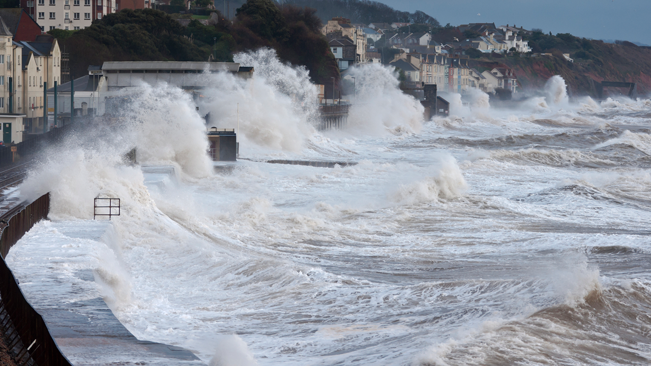
WTW
ArcGIS deepens our understanding of the global risks that our clients face today, that arise unexpectedly tomorrow and that are likely for the future.
Continue Reading
Watermarkr your map
With the retirement of Markr coming ever closer, you may be wondering “how can I add watermarks to my map?”. The answer is simple: all you need is an awesome logo in SVG format, a coverage layer in the coordinate … Continue reading
Continue Reading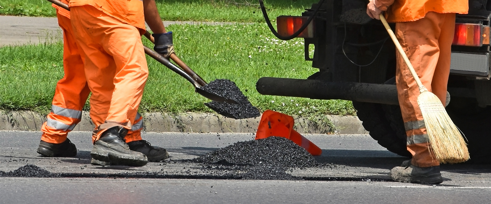
Ringway
ArcGIS is enabling us to use intelligence-led planning to deliver more efficient and collaborative services for our public sector clients, whilst also building resilience into the asset management process.
Continue Reading
Oxfordshire County Council
Adult Social Care services in Oxfordshire have been transformed through the introduction of a series of ArcGIS apps
Continue ReadingNorthern Ireland Water
Our ArcGIS web app is making it easier for members of the public to report water leaks and play an active role in helping to conserve water in Northern Ireland.
Continue ReadingGetting to grips with Partnered Collaboration in ArcGIS Online
In April this year we announced the release of Partnered Collaboration in ArcGIS Online. With similar terms such as Distributed Collaboration being banded around, it’s easy to get confused! In an attempt to understand how Partnered Collaboration differs from other … Continue readi
Continue ReadingGetting started with ArcGIS Experience Builder
ArcGIS Experience Builder has been floating around as a product for a while now, with its long list of amazing features and the endless possibilities they create. It’s a wonderful product when you wrap your head around it, but perhaps … Continue reading
Continue ReadingCreating Vector Tiles
You might have heard about vector tiles recently but not yet used them. Here I will explain what they are, why you should consider using them and how to create them. What are vector tiles? Vector tiles contain vector representations … Continue reading
Continue Reading
Humberside Fire & Rescue Service
ArcGIS gives us the real-time data and insight we need to save lives, create safer communities and collaborate with other organisations in emergency situations.
Continue Reading