Tag Archives: ArcGIS Online
Follow your tracks; Location sharing in ArcGIS
Data collection is easier than ever thanks to technology which allows users to carry out operations both in office or out and about. But how can organisations ensure their workers safety and maximise efficiency? Enter, location sharing. If this is … Continue reading
Continue Reading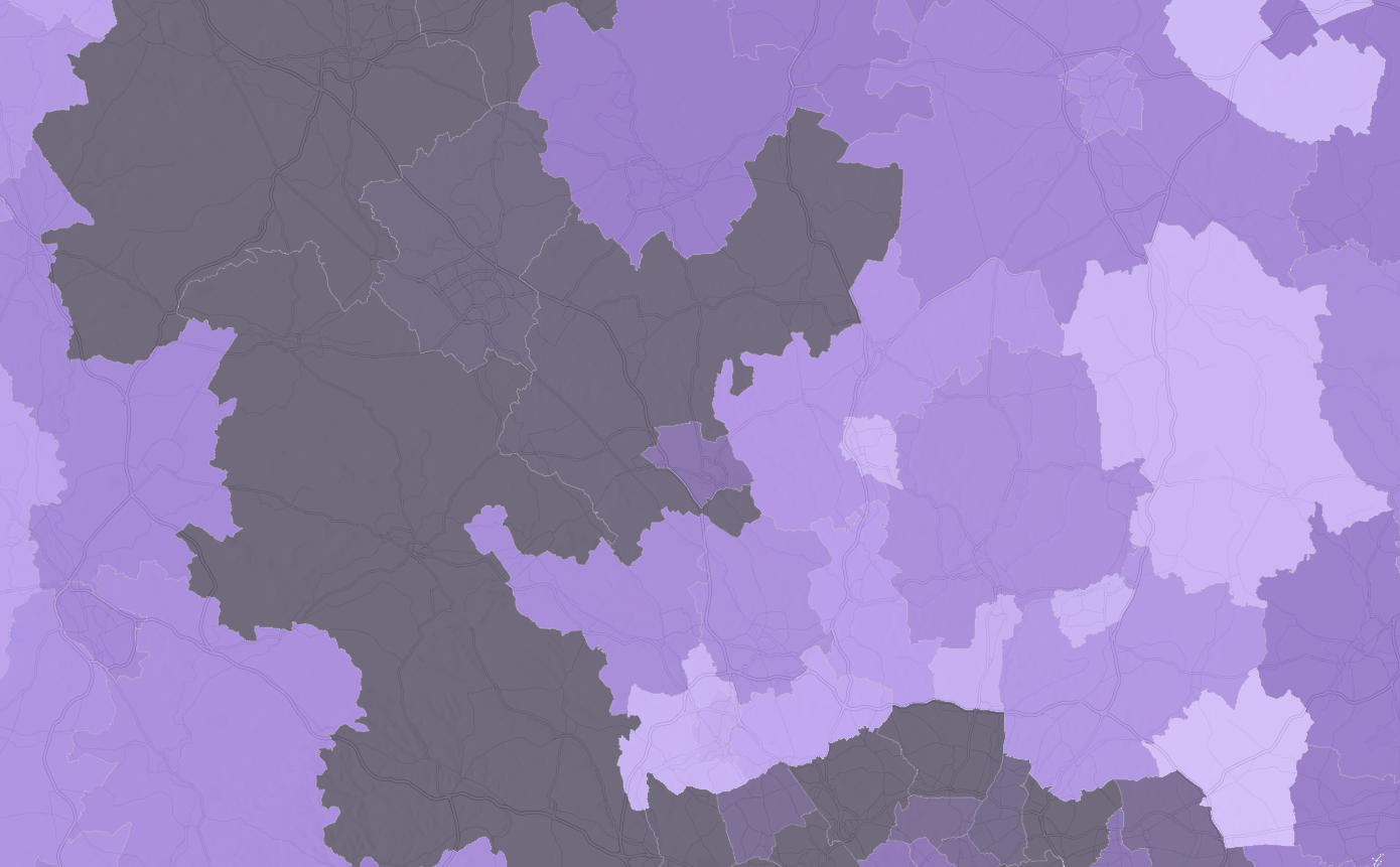
Explore the 2021 Census data with ArcGIS Living Atlas
Back in 2021, many of us in England and Wales may remember filling in the many pages of the census. Since then, much of the data has been processed by the Office for National Statistics and is starting to become … Continue reading
Continue Reading
Important Update for Office for National Statistics Datasets in ArcGIS Living Atlas
The Office for National Statistics (ONS) are currently undergoing migration of their feature layers to ArcGIS Online. ONS services in the Living Atlas will be removed and replaced with new services. Read on to find out how it might affect … Continue reading Continue Reading
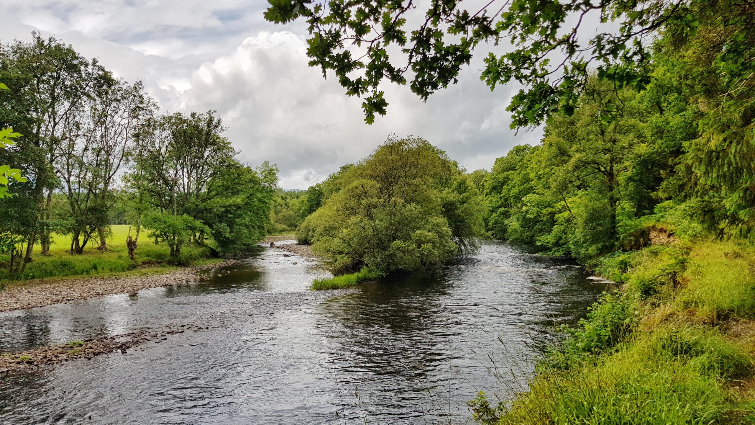
Forth Rivers Trust
We have transformed the way that we gather evidence and share information to raise awareness of the pressures on ecologically-important river catchments in Scotland.
Continue Reading
OSNI
Virtual training courses from Esri UK & Ireland are helping us to keep our skills up-to-date and deliver specialist geospatial services for government stakeholders and the general public.
Continue Reading
RSA
For more than 20 years, we have used ArcGIS to help us gain a deeper understanding of risks in locations around the globe.
Continue ReadingYour Living Atlas Autumn Roundup
For this Q3 update, we have welcomed 26 new datasets and 3 new contributors to Living Atlas – Met Office, Rural Payments Agency and Digital Health and Care Wales! As of today, UK Living Atlas has 632 items and 57 … Continue reading
Continue Reading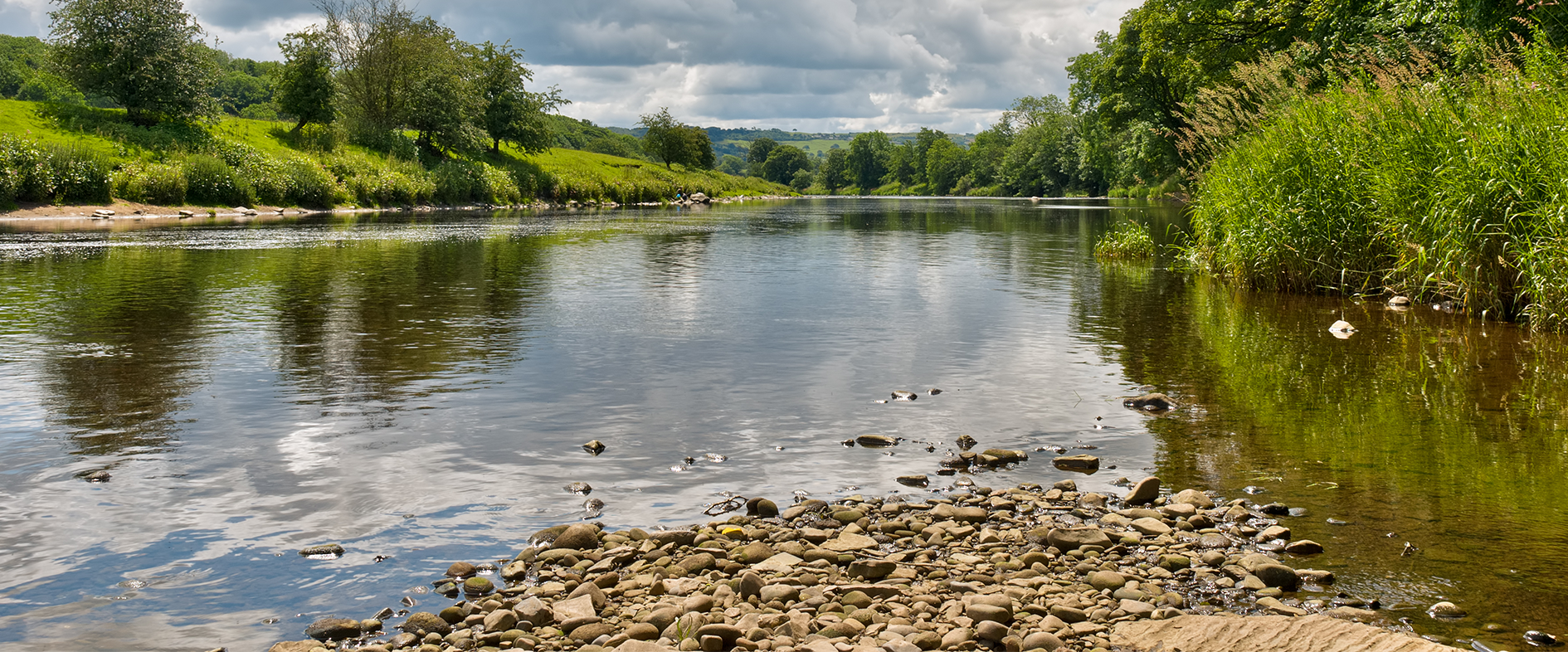
Ribble Rivers Trust
ArcGIS shows us where our environmental projects could have the greatest positive impact on the health and wellbeing of local people.
Continue Reading
Watermarkr your map
With the retirement of Markr coming ever closer, you may be wondering “how can I add watermarks to my map?”. The answer is simple: all you need is an awesome logo in SVG format, a coverage layer in the coordinate … Continue reading
Continue Reading
Norfolk Fire & Rescue
Esri UK’s Professional Services team configured a bespoke solution for inspecting and maintaining fire hydrants and managing planning applications in just 14 weeks.
Continue Reading