Tag Archives: ArcGIS Online
Getting to know the geofencing capabilities in the ArcGIS system
Location is at the heart of everything we do here at Esri UK. So any capability that allows us to get even more from our location data is pretty powerful. And that’s exactly what geofencing is all about. Geo refers … Continue reading
Continue Reading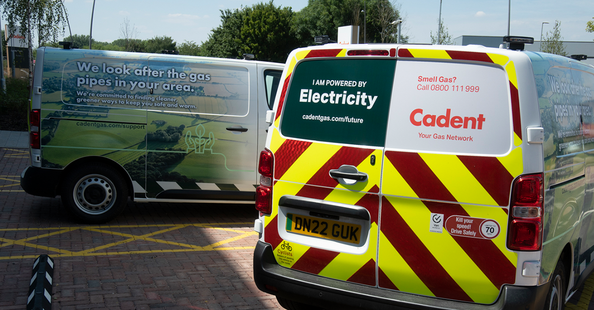
Cadent
With ArcGIS Online and ArcGIS Web AppBuilder, we have created an app that shares invaluable maps and data with key stakeholders, helping to improve business processes.
Continue Reading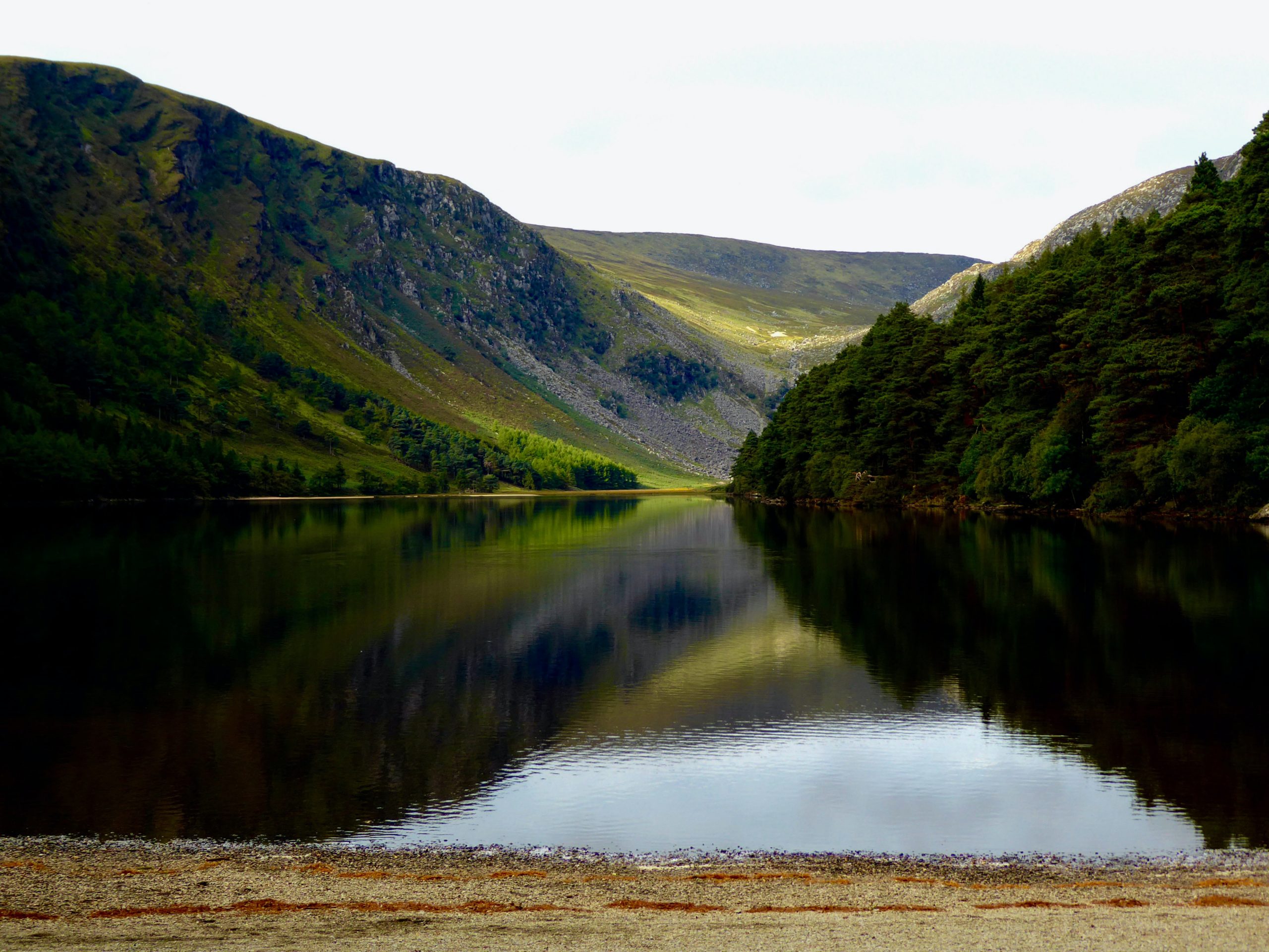
Wicklow County Council
Wicklow County Council made the bold decision to move 100% of its geospatial data and GIS services to the cloud and is now reaping the rewards of this successful strategy. The migration to ArcGIS Online has improved application performance, simplified … Continue reading
Continue Reading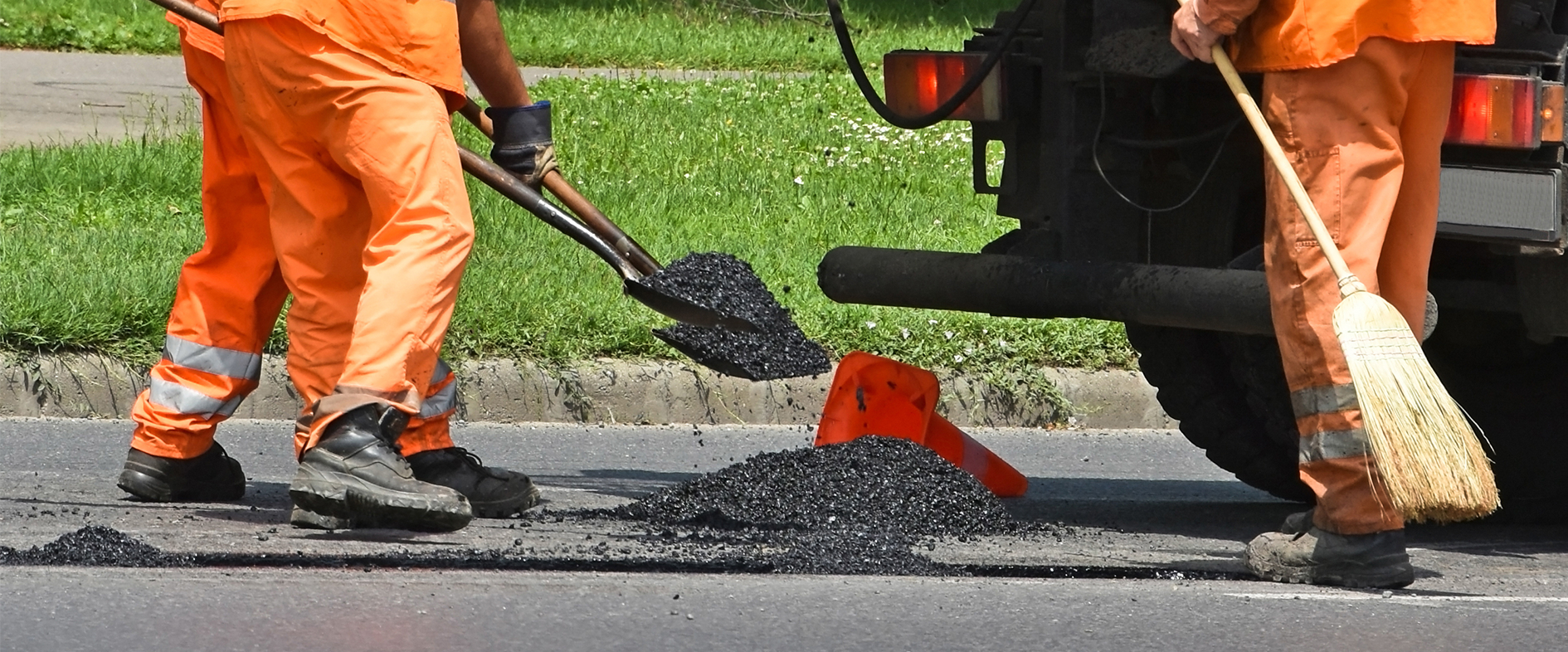
Ringway
ArcGIS is enabling us to use intelligence-led planning to deliver more efficient and collaborative services for our public sector clients, whilst also building resilience into the asset management process.
Continue Reading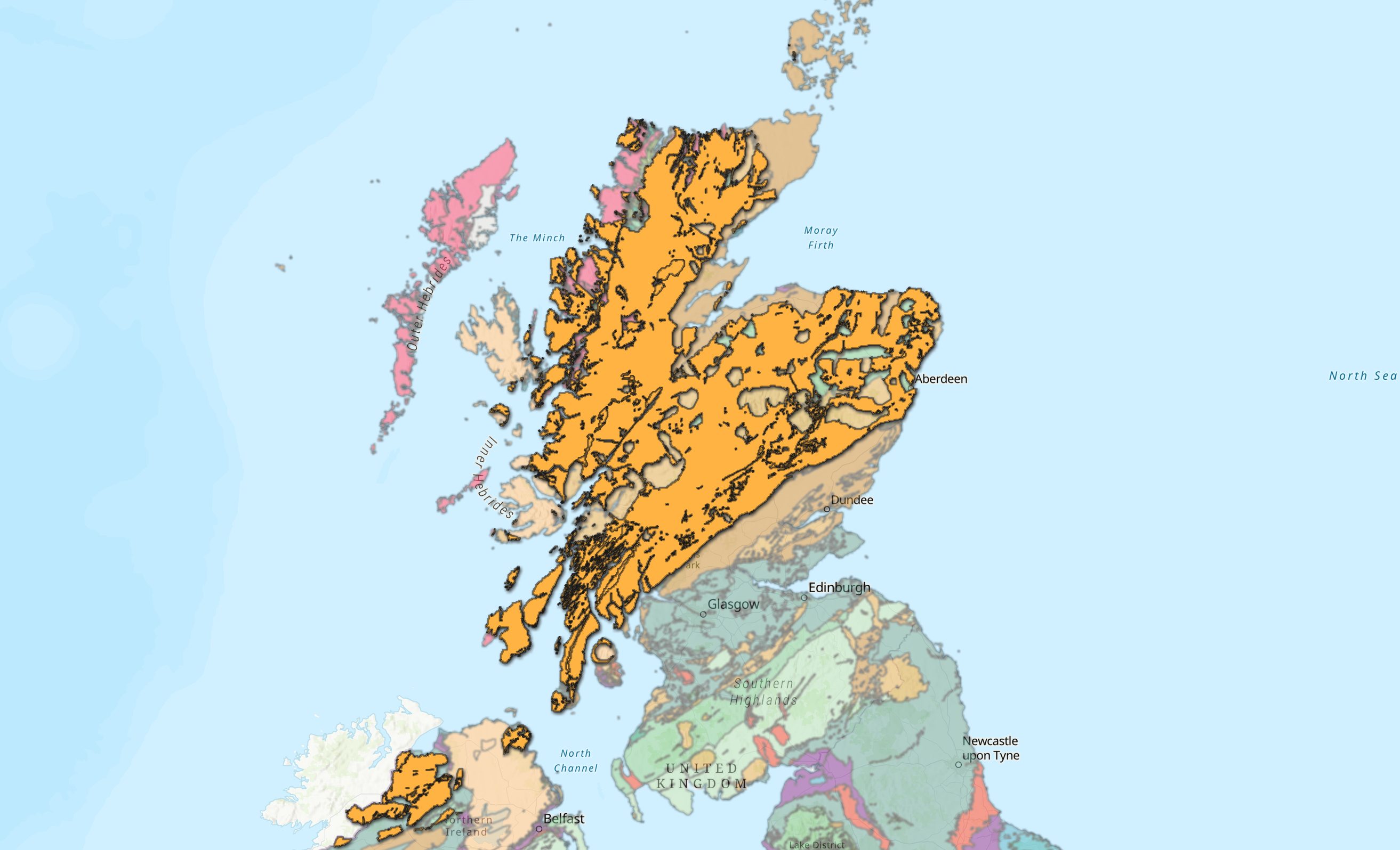
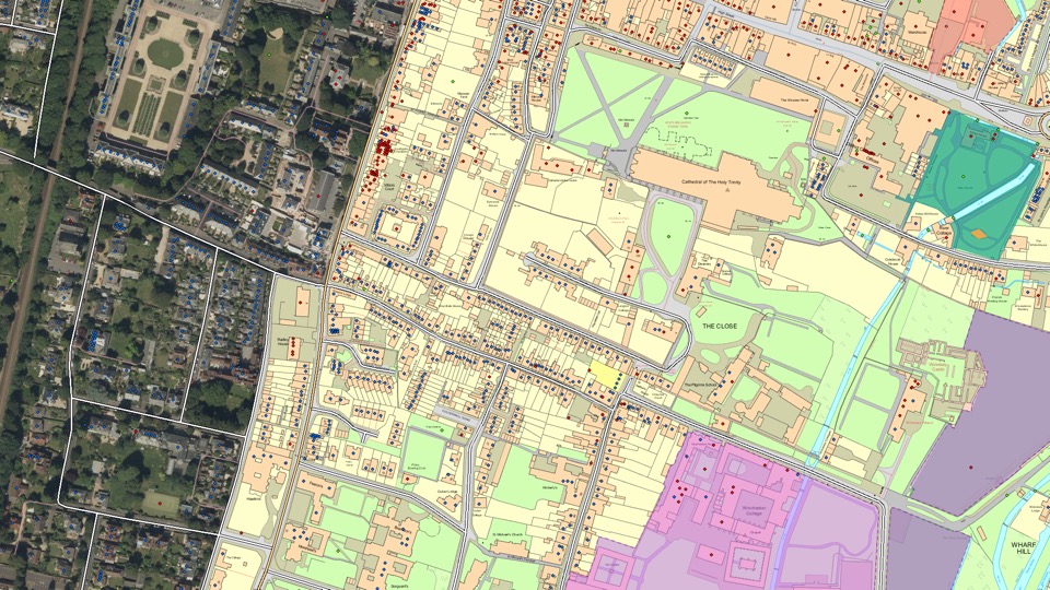
Digging into the New British Geological Survey Geology Data
Ever wondered what’s going on right beneath your feet? If your answer is yes, then keep reading to find out about our latest edition to the Living Atlas. The ArcGIS Living Atlas of the World is an evolving collection of … Continue reading
Continue ReadingNever miss bin day again with ArcGIS Instant Apps
ArcGIS Instant Apps is a fantastic way of providing members of the public with the latest information. Are you a utility company that needs to provide service updates to customers, or a local council needing to inform their constituents of … Continue reading Continue Reading
Ordnance Survey
With the ArcGIS System and the exemplar application of Sweet for ArcGIS we have created a lighthouse geospatial platform that is already seeing impactful, measurable benefits.
Continue Reading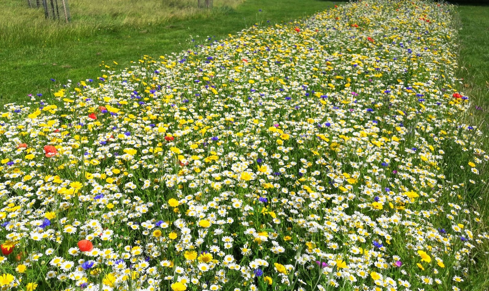
Thanet District Council
With ArcGIS Hub, we are successfully engaging with citizens and community groups to create desperately-needed new habitats for pollinating insects.
Continue Reading
Stantec
We have used ArcGIS to create a ground-breaking solution that helps firefighters extinguish fires more quickly.
Continue Reading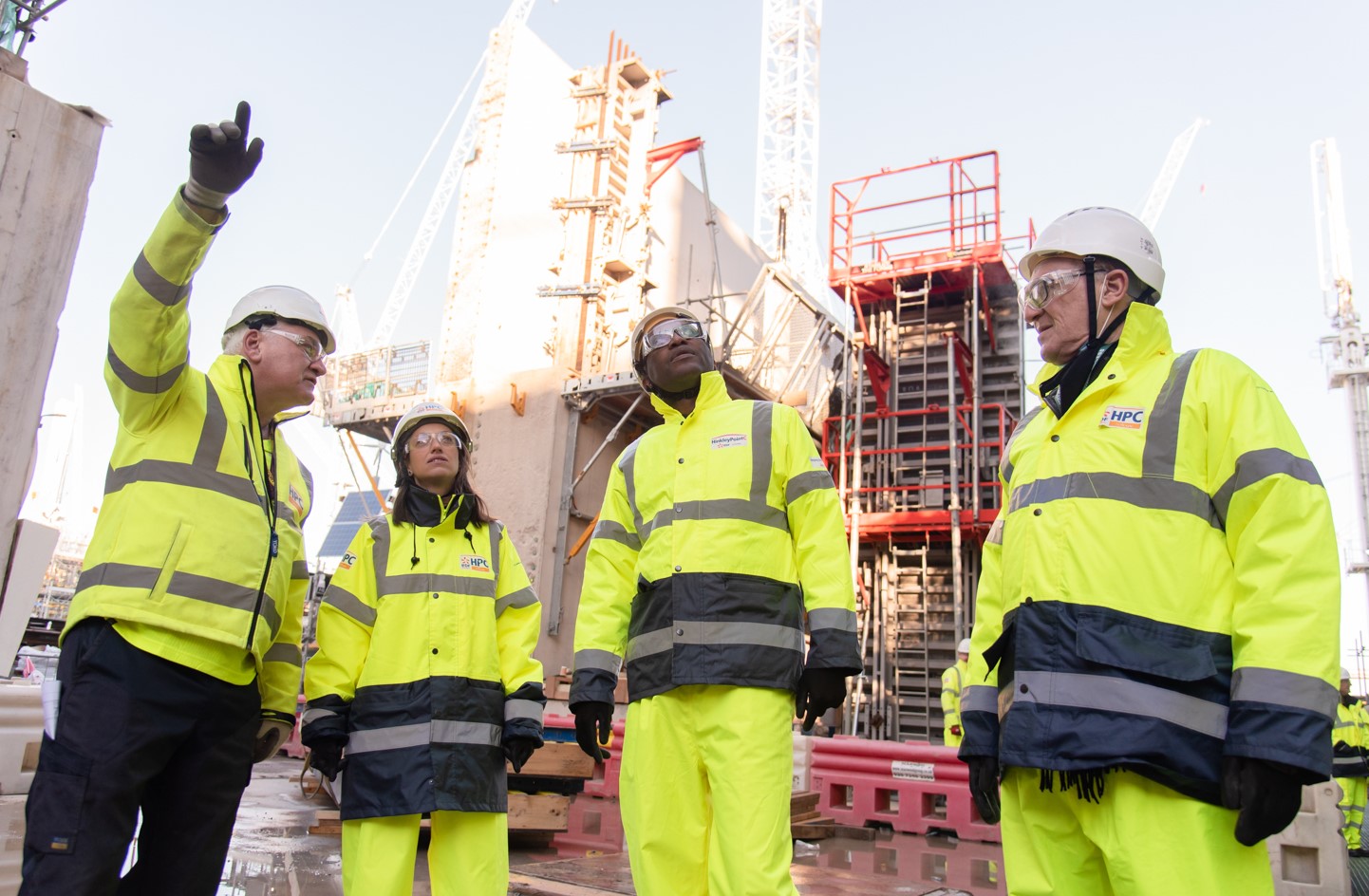
EDF
During the important project to construct a new nuclear power station for Britain, we are using ArcGIS Enterprise to help us work efficiently and safely.
Continue Reading