Tag Archives: ArcGIS Online
Want a ‘Starry Night’ inspired basemap? We Gogh you covered.
Cartographers have always been influenced by artistic practices, so wouldn’t it be great if we could make maps in the style of our favourite paintings? This idea may seem a little outlandish but with the help of modern-day GIS technologies, … Continue reading
Continue Reading
Coastal Atlas Ireland
ArcGIS Hub is enabling us to transform recreational anglers into citizen scientists and encourage more people to play an active role in helping to conserve Ireland’s fish stocks.
Continue Reading
Inland Fisheries Ireland
ArcGIS Hub is enabling us to transform recreational anglers into citizen scientists and encourage more people to play an active role in helping to conserve Ireland’s fish stocks.
Continue ReadingGetting started with selectors in ArcGIS Dashboards
Selectors can really enhance your ArcGIS dashboards by making them interactive! Essentially, a selector describes any dashboard element that results in an action on another element of the dashboard. For example, zooming to an area on the map, making a … Continue reading
Continue ReadingGetting to grips with Partnered Collaboration in ArcGIS Online
In April this year we announced the release of Partnered Collaboration in ArcGIS Online. With similar terms such as Distributed Collaboration being banded around, it’s easy to get confused! In an attempt to understand how Partnered Collaboration differs from other … Continue readi
Continue Reading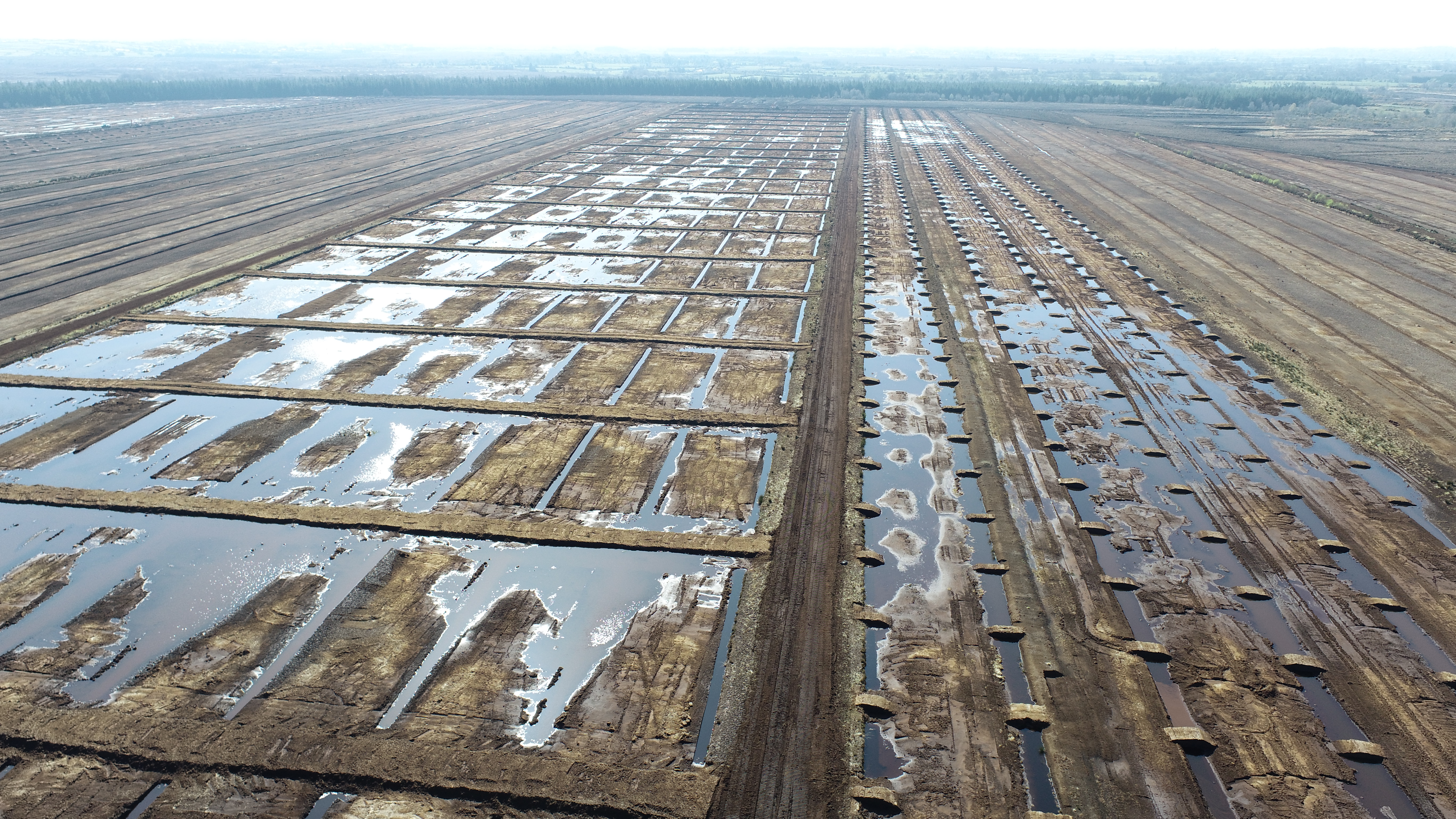
Bord na Móna
We have invested in ArcGIS within the field and on our desktops to inspect contractors' work, track quality control trends and contribute to the success of government energy-saving programmes.
Continue ReadingAn effective ArcGIS Online update
The latest update to ArcGIS Online blew in overnight with the windy weather and I immediately got hooked by the new Effects you can apply to your layers. The update also includes a new Chart type, new Instant Apps, enhancements … Continue reading
Continue ReadingGetting started with ArcGIS Experience Builder
ArcGIS Experience Builder has been floating around as a product for a while now, with its long list of amazing features and the endless possibilities they create. It’s a wonderful product when you wrap your head around it, but perhaps … Continue reading
Continue ReadingArcGIS StoryMaps: immerse yourself in recent enhancements
ArcGIS StoryMaps has been empowering storytellers more than ever this year with a heap of big enhancements. Big, huge, almost too many to keep track of! I’m going to take you on a whistle stop tour of my favourite enhancements … Continue reading
Continue ReadingElevate your editing with the summer ArcGIS Online update
Two exciting new capabilities, another Instant App and a new content experience should be enough to get this ArcGIS Online update into the yellow jersey. As The Tour De France unfolds I can’t help myself but start by exploring French … Continue reading