Tag Archives: ArcGIS Online
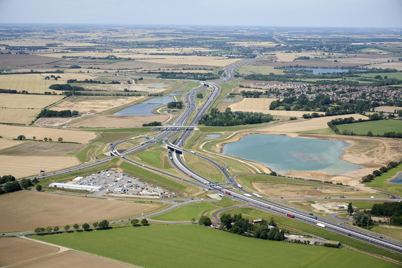
Costain
Our enterprise-wide deployment of ArcGIS is delivering substantial cost and time savings and enabling safer, faster, better, greener and more efficient programme delivery for our clients.
Continue Reading
NHS South, Central and West
The use of ArcGIS for geospatial analysis, temporal modelling and data sharing helped the NHS to plan and deliver a world-leading COVID-19 vaccination programme.
Continue ReadingCreating Vector Tiles
You might have heard about vector tiles recently but not yet used them. Here I will explain what they are, why you should consider using them and how to create them. What are vector tiles? Vector tiles contain vector representations … Continue reading
Continue Reading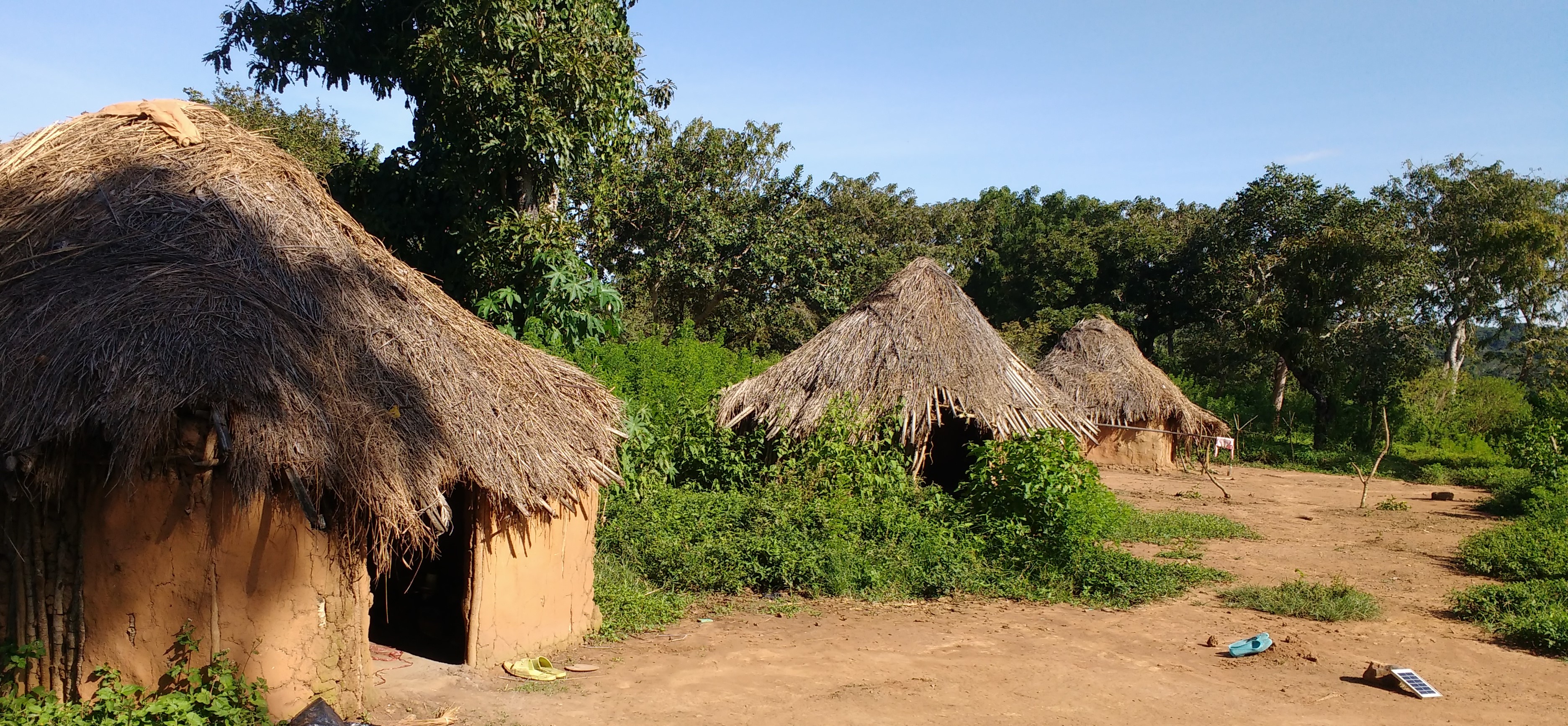
Sightsavers
We use the ArcGIS System to help locate communities at risk from preventable blindness, and treat them. We also share our findings and insights with multiple stakeholders through our Open Data Portal.
Continue Reading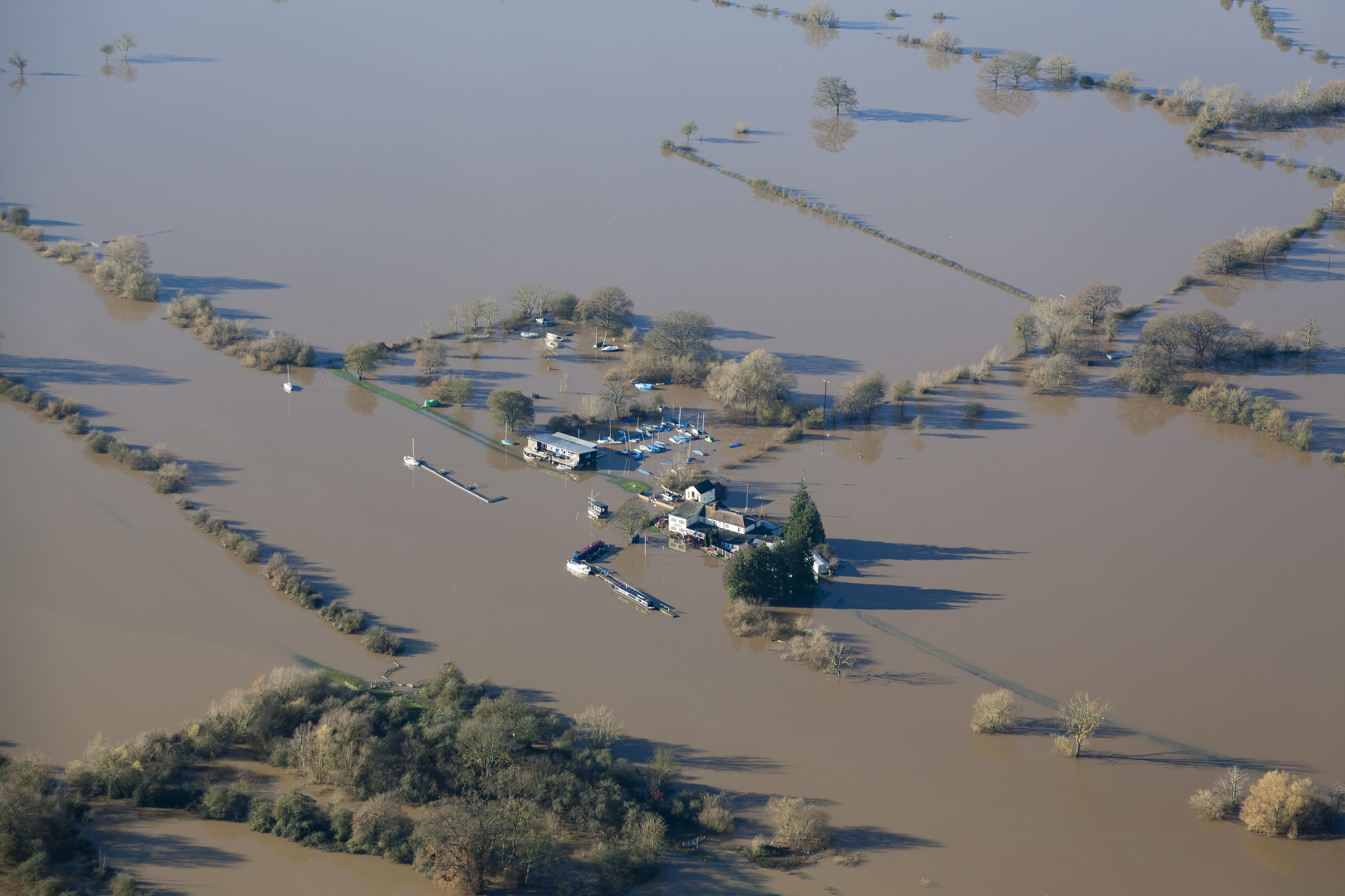
Severn Trent
Through our use of ArcGIS Hub Premium, we have delivered a wastewater industry first, creating our DWMP Hub which is empowering stakeholders and organisations to digitally collaborate on the key challenges around wastewater and flooding
Continue Reading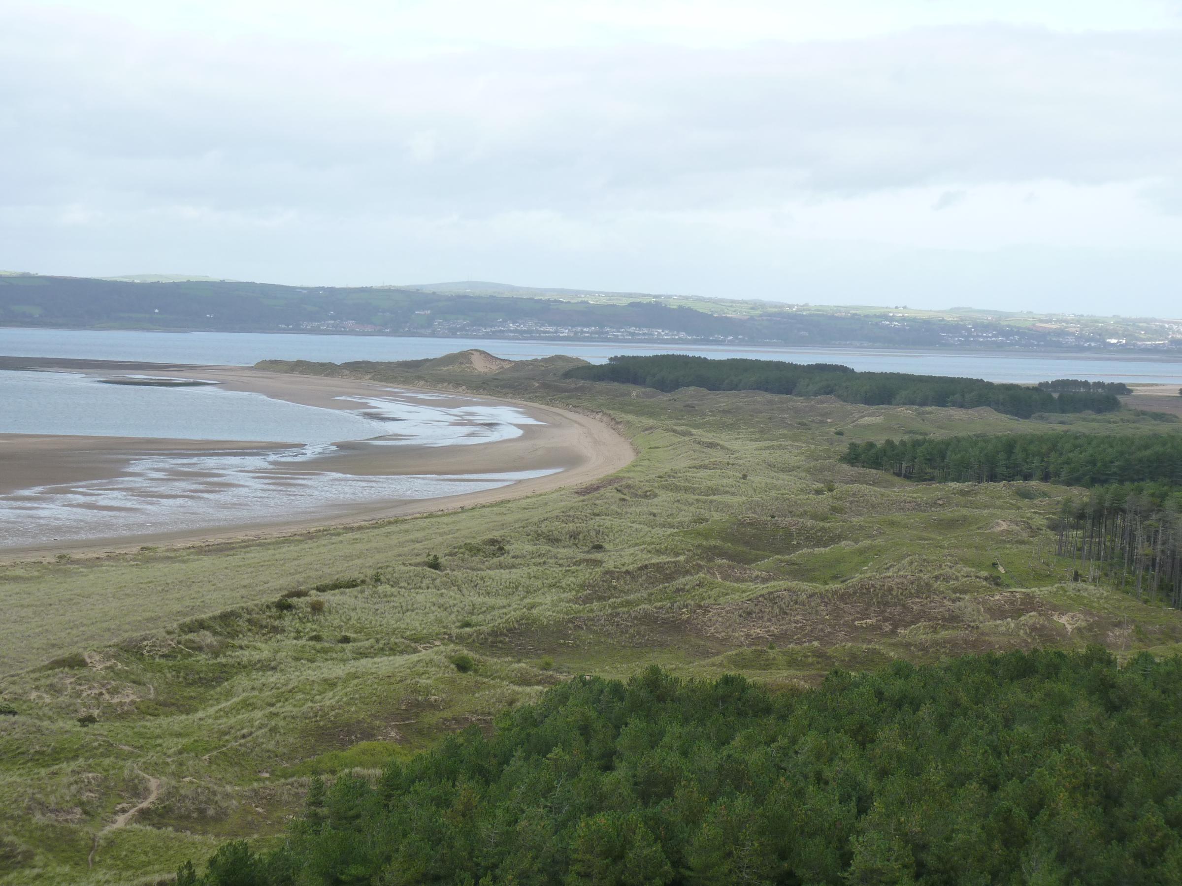
Natural Resources Wales
We can now capture detailed, accurate data with drones and analyse it to better monitor environmental changes and improve the sustainable management of Wales’ natural resources.
Continue Reading
42 Engineer Regiment
At a time of national emergency, 42 Engineer Regiment used GIS to help the Government make critical decisions
Continue Reading
Arcadis
In a ground-breaking project, Arcadis has used solutions from Esri’s ArcGIS to collaborate effectively with its client and deliver a new way of working.
Continue ReadingThe ArcGIS Online update is a classic
The ArcGIS Online update that went in last night is a mighty one – with two key app updates coming out of beta and a new capability for collaborating with partners. Where to start… The new Map Viewer The new … Continue reading
Continue ReadingPartnered Collaborations in ArcGIS Online
One of the exciting new features in the ArcGIS Online update is Partnered Collaborations. This digital infrastructure, built into ArcGIS Online, allows us to establish formal relationships between two or more organisations. The current Sharing Model allows organisations to securely … Continue reading