Tag Archives: ArcGIS Online
LUC – Working on behalf of CPRE
ArcGIS enabled us to uncover clear evidence of the importance of England’s protected landscapes and present complex information in a format that made it really engaging and understandable for everyone.
Continue Reading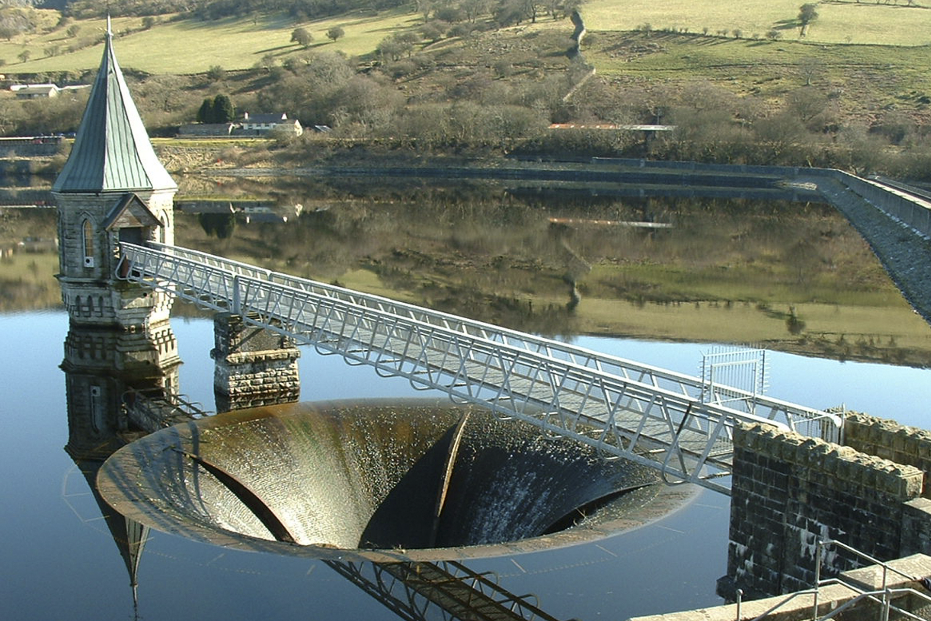
Dŵr Cymru Welsh Water
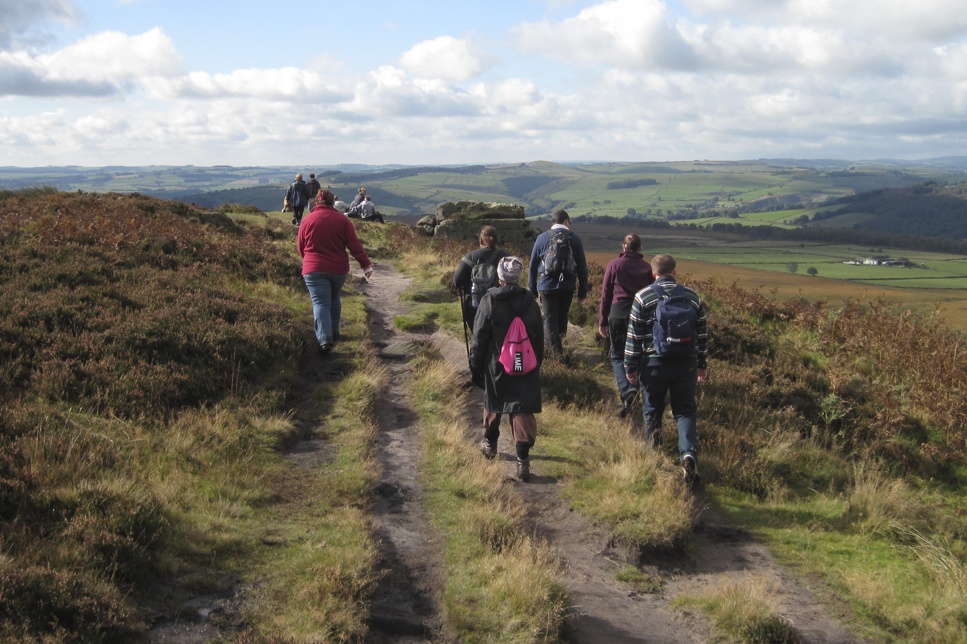
How a spatial approach to data is helping us to enhance catchment management and deliver valuable insights, to create a more efficient business.
Continue Reading
Jacobs
The web app we have developed using ArcGIS is helping our clients to improve efficiency in their infrastructure and other major projects.
Continue Reading
City of London Police
With improved insight into where the majority of crimes occur and the locations of the most harmful crimes, City of London Police can optimise its allocation of resources and prevent more crimes.
Continue ReadingAn ArcGIS Online update just in time to track Santa
The December update has delivered its seasonal gifts to ArcGIS Online users. The big news is the addition of tracking to ArcGIS Online. So now you just need to add Santa to your organisation, get him to download an app … Continue reading
Continue ReadingTracker for ArcGIS
Tracker for ArcGIS allows you to track the location of anyone with access to a mobile phone and the correct licence. Knowing where field staff are has clear health and safety benefits for remote locations. Near real-time position data is … Continue reading
Continue Reading
HS2
We are making information about HS2 Phase 2b easier to find, explore and understand by publishing an online story map.
Continue ReadingGive the new Map Viewer a Spin
New decade, new map viewer. You may have already heard, but the Map Viewer is getting a makeover in the new year, with a new look and feel designed to make authoring your maps quicker and easier. Let’s run through some … Continue reading
Continue Reading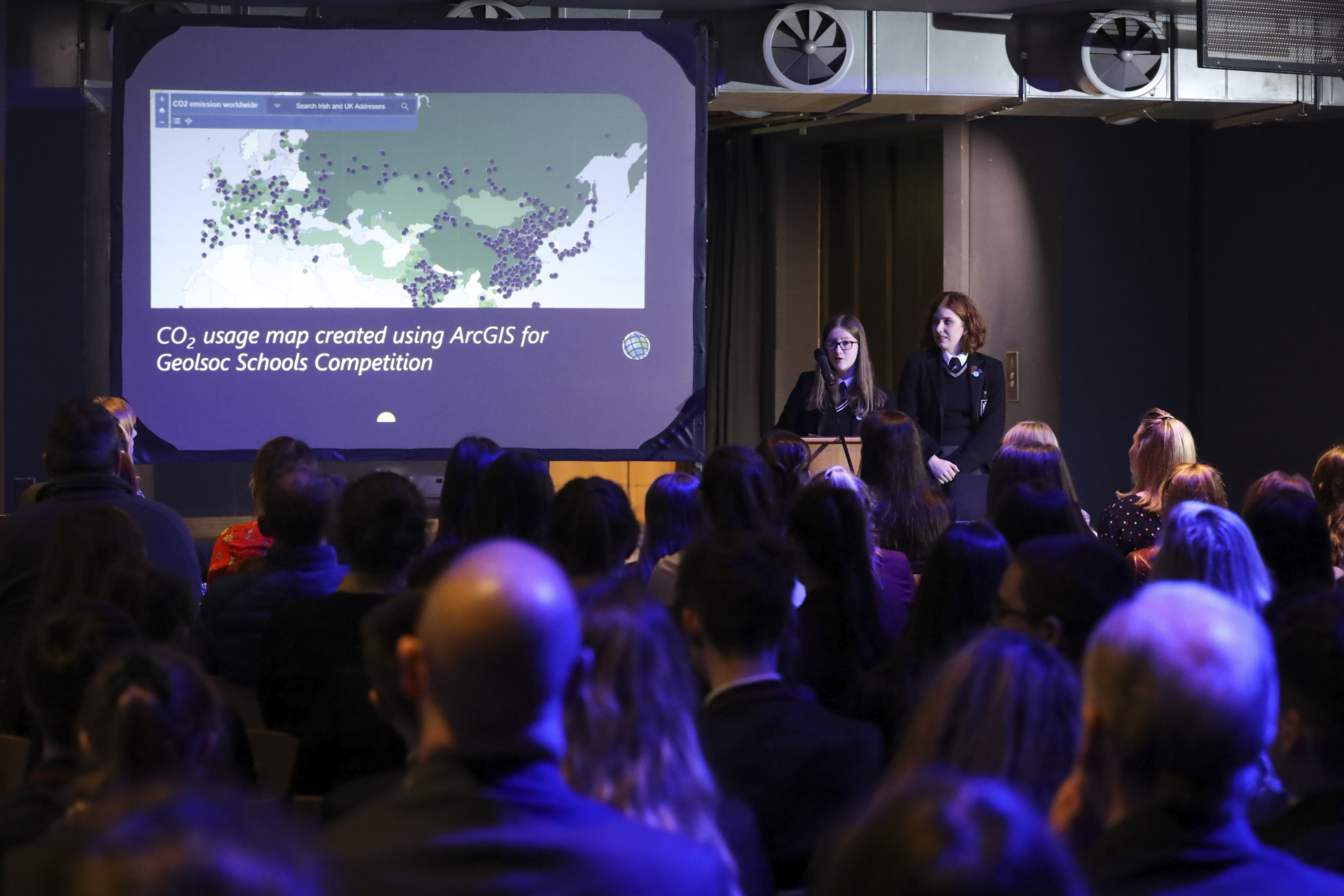
Methodist College Belfast
Students use ArcGIS to evaluate the environmental, economic and social impacts of renewable and non-renewable energy sources
Continue ReadingThe Hidden Power of Feature Templates
Feature Templates are an often overlooked, yet powerful, tool to enable default values when editing a layer in ArcGIS Online. They can be used to build up editing logic and have the power to automatically create data in your web … Continue reading
Continue Reading