Tag Archives: ArcGIS Online
Addressing the benefits of ArcGIS Locators for finding places
Whether you are a locator aficionado or amateur, many of us are all too familiar with the satisfaction that comes from a seamless map-based search; be it by location, address or feature name. From my recent experience working with ArcGIS … Continue reading
Continue ReadingGet started with ArcGIS Dashboards
ArcGIS Dashboards are a staple when it comes to the Esri toolbox. Over the years, the user interface has been developed and there is a continually growing set of capabilities. Their purpose remains the same: to help users make decisions, … Continue reading
Continue Reading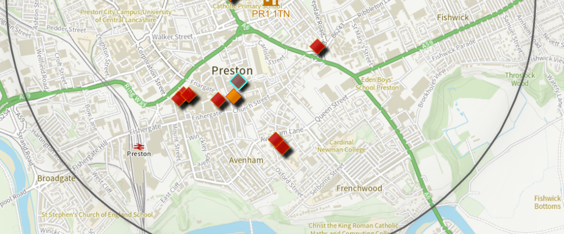
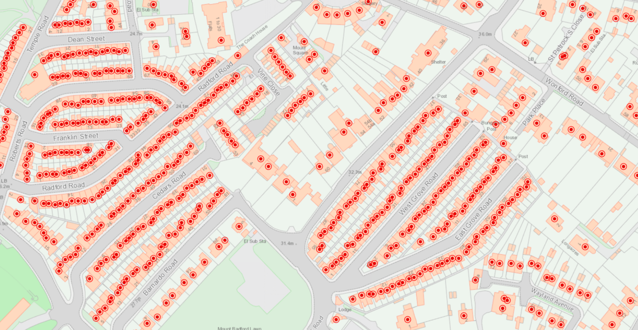
Lancashire County Council
Making the most of all the tools and capabilities of ArcGIS Online, we are delivering innovative digital solutions for Lancashire.
Continue Reading
Thirteen Group
Thirteen Group’s Community Resilience strategy works to understand local communities better, inform decisions and signpost customers to the services available.
Continue ReadingCartography in ArcGIS Online
Kenneth Field wrote a compelling blog where he explored how different cartographic approaches to data can skew the output in ArcGIS Pro. But this blog made me wonder, how does ArcGIS Online measure up in comparison? Can the same, or … Continue reading
Continue Reading
Jacobs
We are helping to shape public transport in Scotland for the next 20 years, by using ArcGIS to analyse, visualise and share data about the accessibility of current and proposed transport networks.
Continue ReadingYour Living Atlas winter wrap-up
Over the course of 2022, we have accepted 255 new datasets to the UK Living Atlas and welcomed 8 data contributors to the platform! I’d just like to say thank you to those who have shared their data to help … Continue reading
Continue ReadingArcade unscripted: thoughts from a newbie
You’ve spent the past few hours creating a map in ArcGIS Online. It’s fine. It does the job, but you know that there’s room for improvement. If only your organisation’s branding scheme could be integrated into the map. Or, if … Continue reading
Continue Reading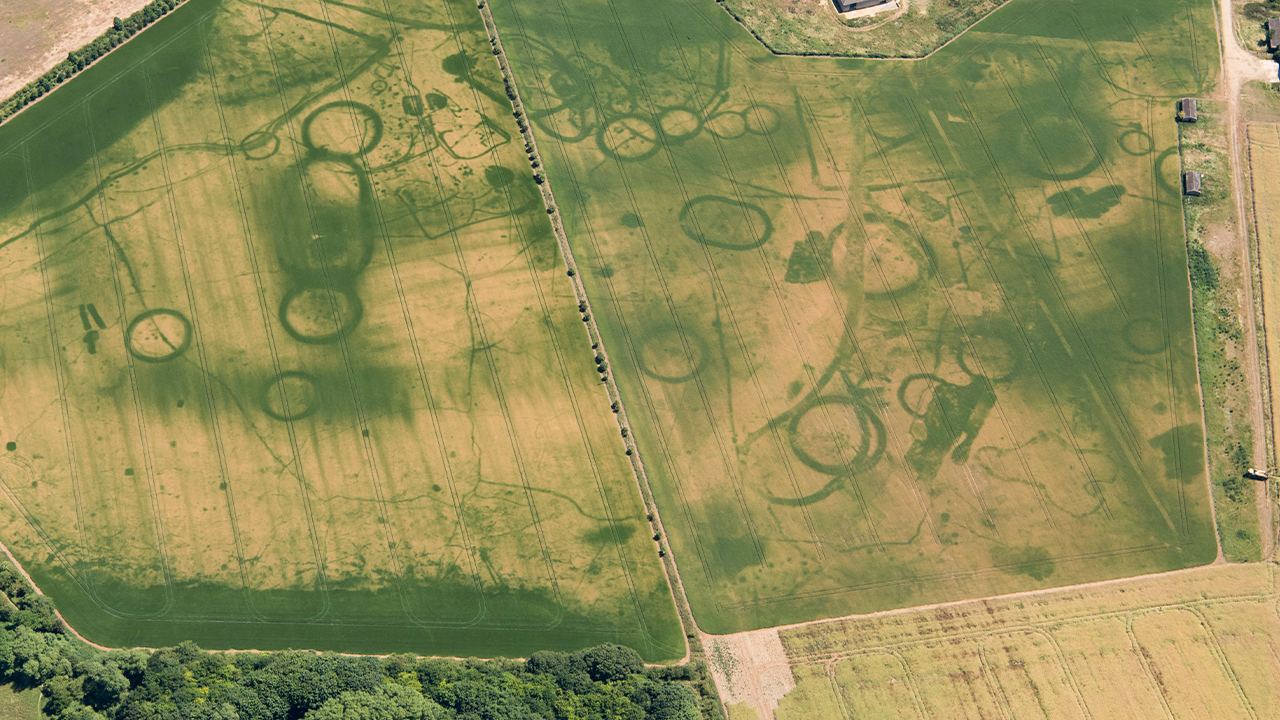
Historic England
We are helping people to discover and explore the rich archaeology of England by making our images and the mapping derived from them, accessible via ArcGIS
Continue Reading
National Highways
Consolidating our geospatial data and creating a single spatial portal with ArcGIS Enterprise has enhanced the value we gain from our geospatial data assets.
Continue Reading