Tag Archives: ArcGIS Pro

Virtual Bradford
Working collaboratively with ArcGIS, we achieved our shared vision of a Virtual Bradford
Continue ReadingWalk Wheel Cycle Trust
By supplementing our in-house data with additional third party data in ArcGIS Online, we gained the insight needed to inform the future development of the National Cycle Network.
Continue Reading
Energy Systems Catapult
We have built an innovative range of data products with ArcGIS that are helping to accelerate net zero strategies.
Continue Reading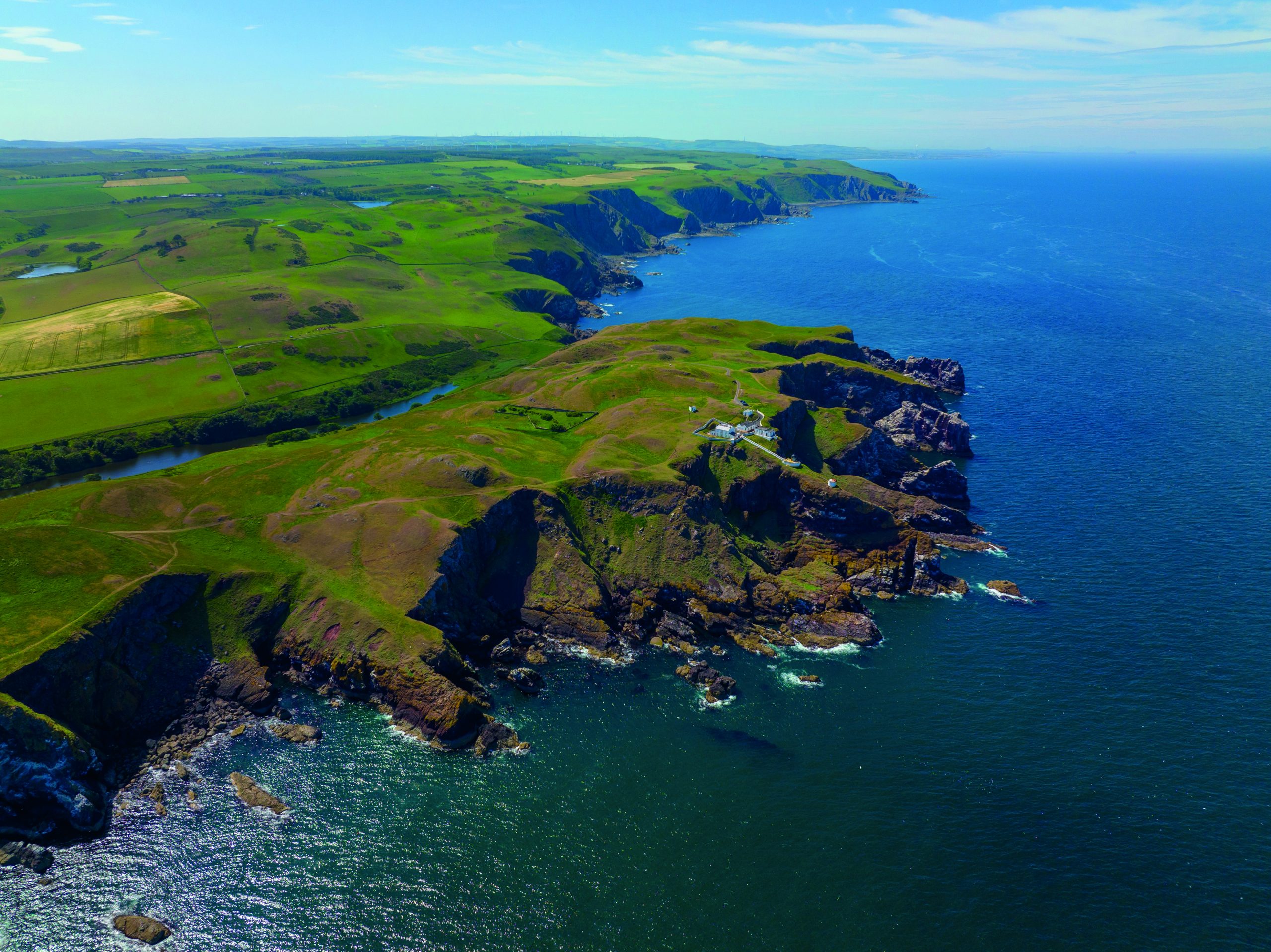
North Sea Transition Authority
The world’s first carbon storage licensing round was supported end-to-end by an ArcGIS-driven process.
Continue Reading
Mott MacDonald
ArcGIS played a central role in enabling us to survey biodiversity at 14 separate sites and deliver a fast, high-quality service for our clients
Continue ReadingEnhancing resilience with ArcGIS Pro’s Flood Simulator
At this year’s Esri UK Scottish Conference, we saw the new ArcGIS Pro flood simulator tool in action. This new tool allows you to model how water moves and accumulates in a 3D scene, enabling quick, on-the-fly flooding scenarios. This … Continue reading
Continue Reading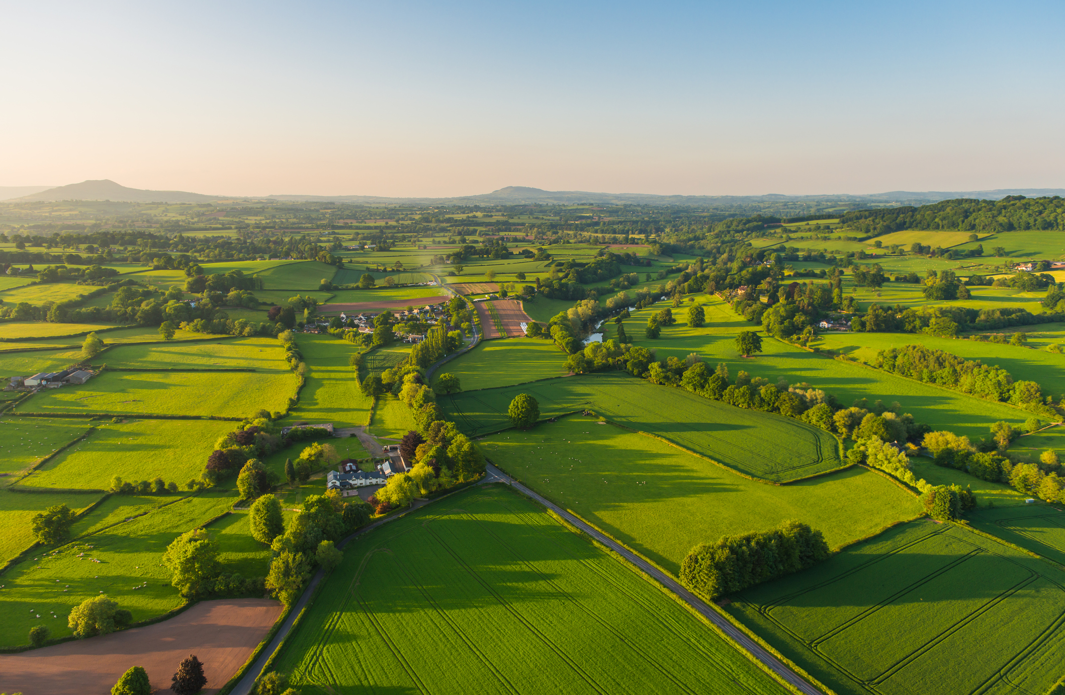
RSK Group
With an Enterprise Licence Agreement, we are expanding access to advanced GIS capabilities across more than 200 businesses and optimising our use of ArcGIS.
Continue Reading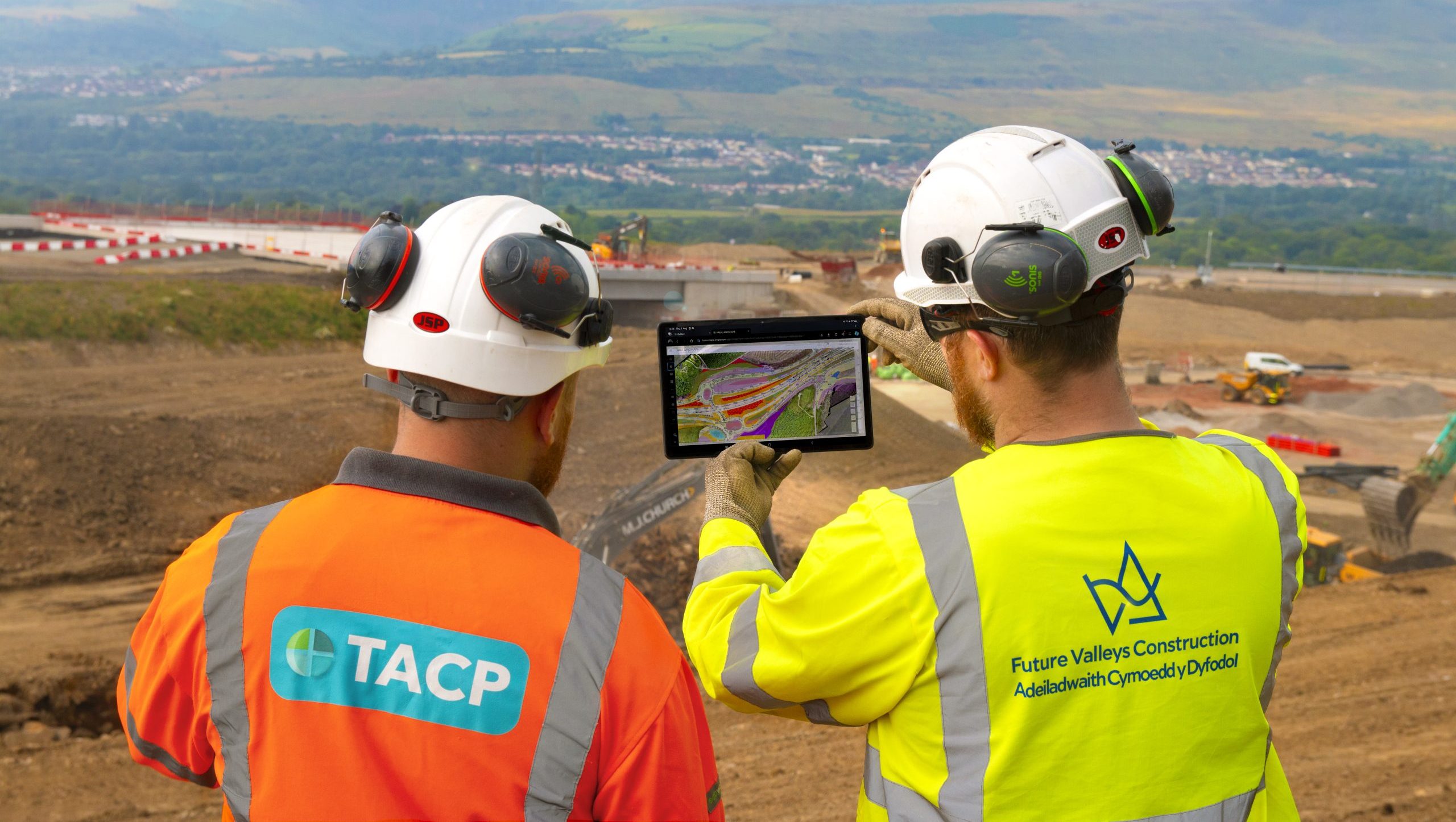
TACP
ArcGIS is embedded into everything we do and supports all aspects of our environmental projects.
Continue ReadingBulk adding attachments to Features in ArcGIS Pro
Have you ever found yourself in the unenviable position of needing to bulk add attachments to over 200 features in ArcGIS Pro? The options are either tediously attaching each file manually or devising a more efficient method. Fortunately for you, … Continue reading
Continue Reading
Royal Commission on the Ancient and Historical Monuments of Wales
We are providing insight into 400 years of landscape change by bringing ancient maps back to life in ArcGIS
Continue Reading