Tag Archives: ArcGIS
RSA
For more than 20 years, we have used ArcGIS to help us gain a deeper understanding of risks in locations around the globe.
Continue Reading
Watermarkr your map
With the retirement of Markr coming ever closer, you may be wondering “how can I add watermarks to my map?”. The answer is simple: all you need is an awesome logo in SVG format, a coverage layer in the coordinate … Continue reading
Continue Reading
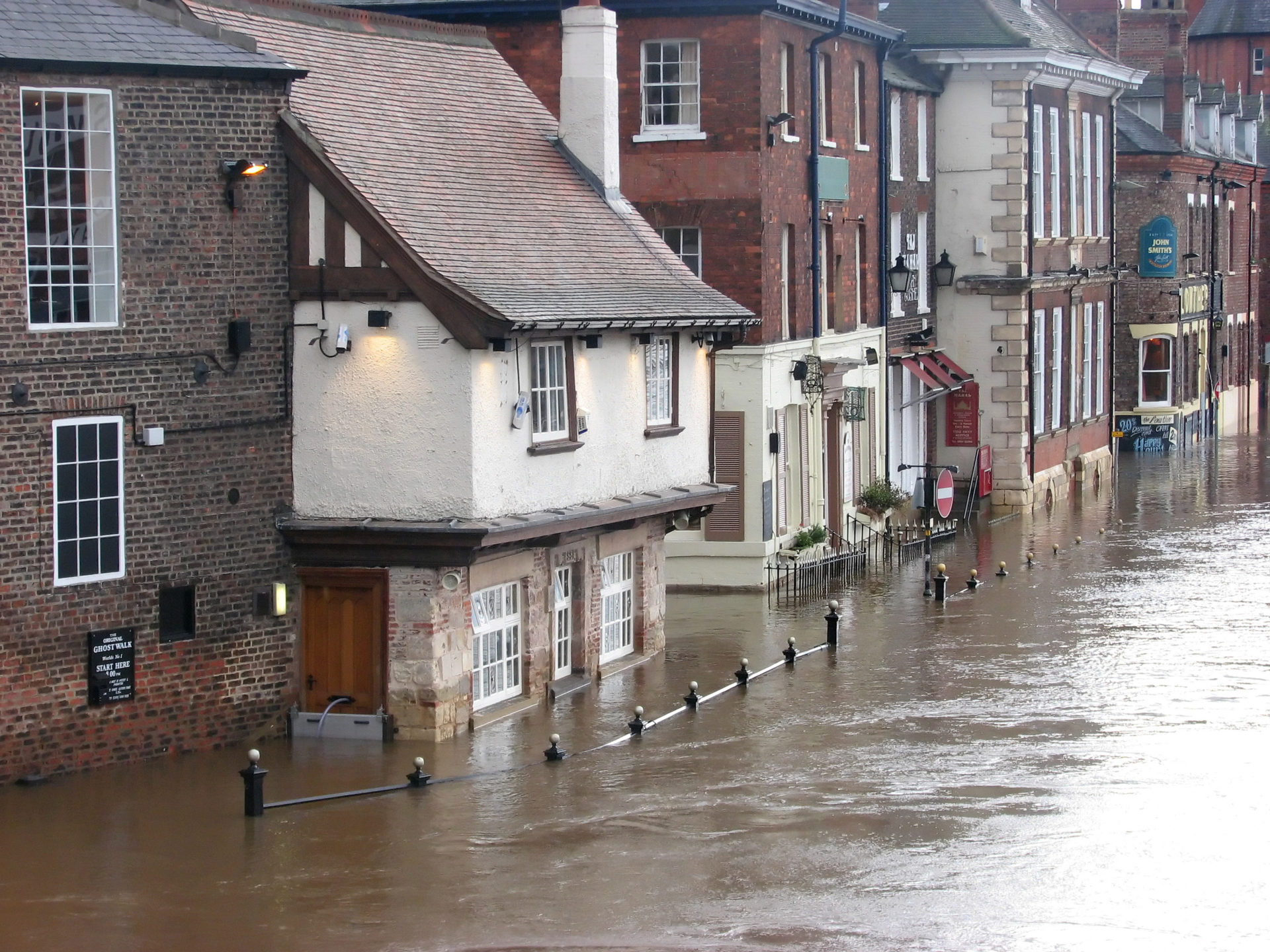
Norfolk Fire & Rescue
Esri UK’s Professional Services team configured a bespoke solution for inspecting and maintaining fire hydrants and managing planning applications in just 14 weeks.
Continue Reading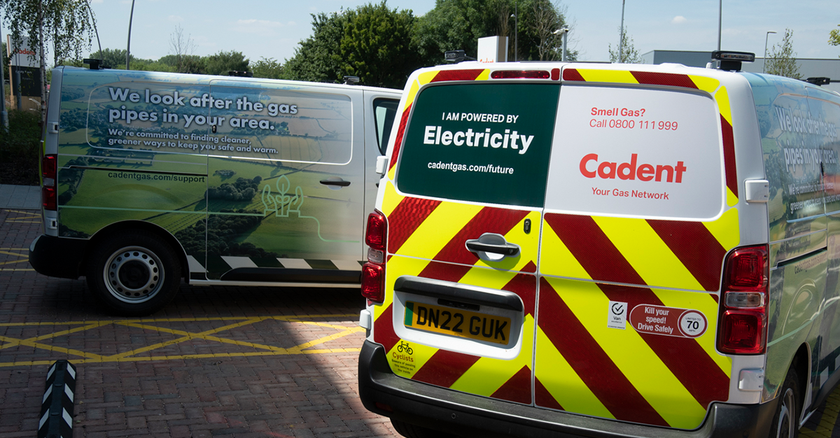
Cadent
With ArcGIS Online and ArcGIS Web AppBuilder, we have created an app that shares invaluable maps and data with key stakeholders, helping to improve business processes.
Continue Reading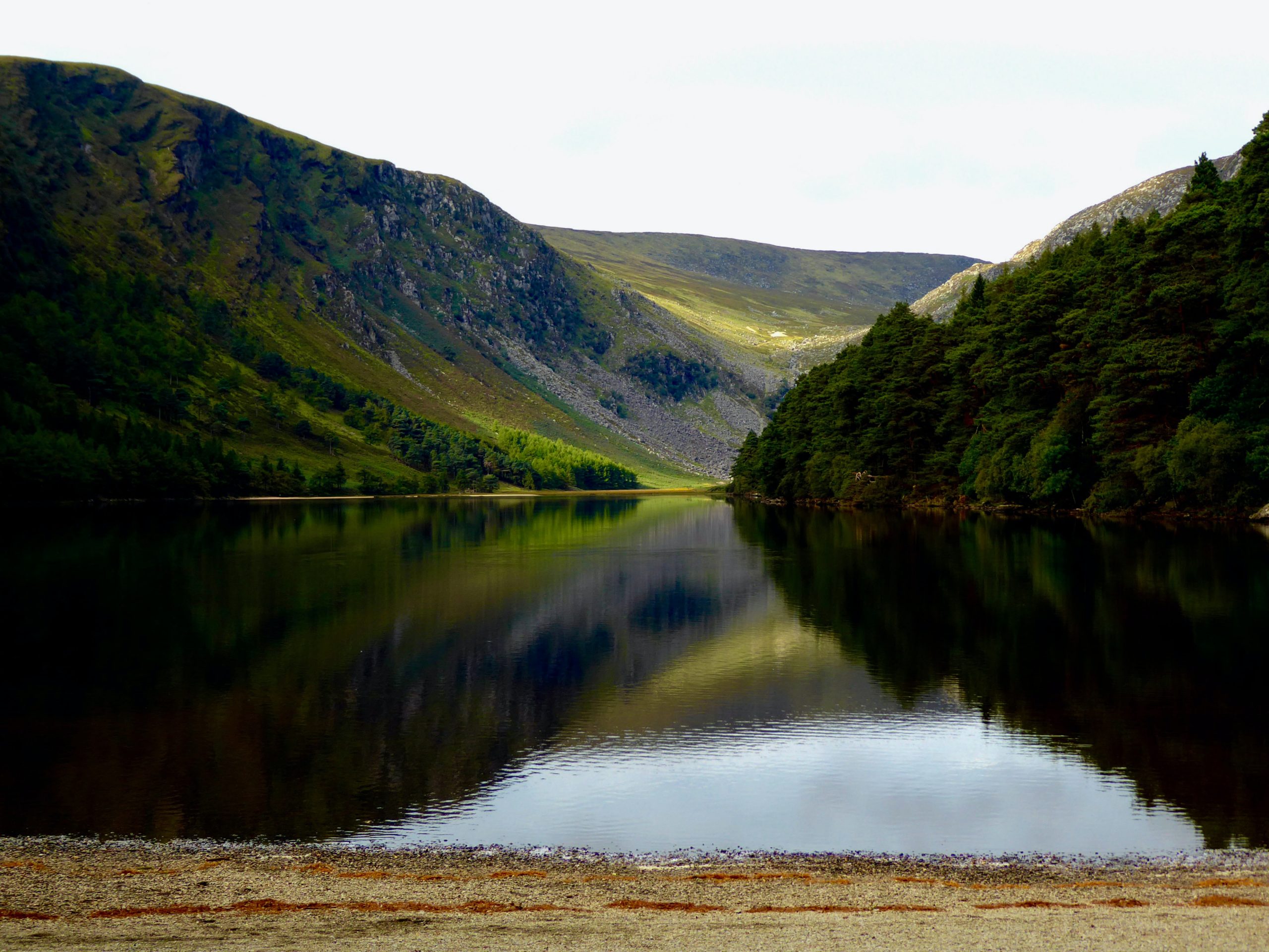
Wicklow County Council
Wicklow County Council made the bold decision to move 100% of its geospatial data and GIS services to the cloud and is now reaping the rewards of this successful strategy. The migration to ArcGIS Online has improved application performance, simplified … Continue reading
Continue ReadingNorthern Ireland Water
Our ArcGIS web app is making it easier for members of the public to report water leaks and play an active role in helping to conserve water in Northern Ireland.
Continue Reading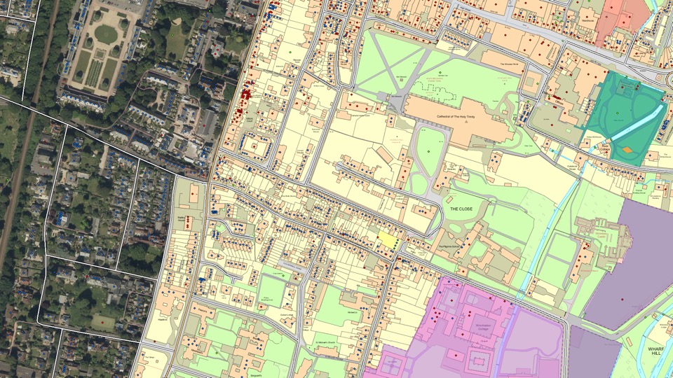
Ordnance Survey
With the ArcGIS System and the exemplar application of Sweet for ArcGIS we have created a lighthouse geospatial platform that is already seeing impactful, measurable benefits.
Continue Reading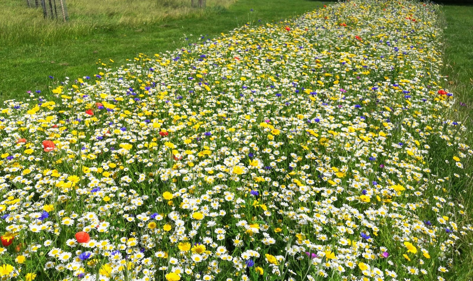
Thanet District Council
With ArcGIS Hub, we are successfully engaging with citizens and community groups to create desperately-needed new habitats for pollinating insects.
Continue Reading
Police Scotland
We transformed a paper-based process into an efficient and robust digital workflow to enable us to keep visitors and the citizens of Glasgow safe during COP26.
Continue Reading
Stantec
We have used ArcGIS to create a ground-breaking solution that helps firefighters extinguish fires more quickly.
Continue Reading