Tag Archives: Augmented reality
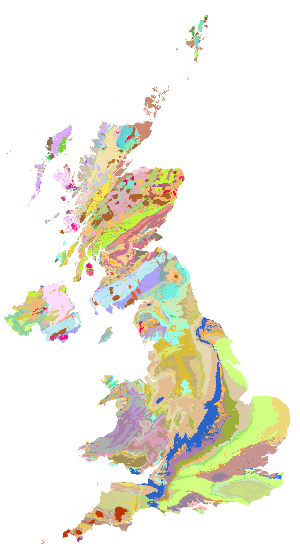
British Geology Survey
The new iGeology mobile app allows smart phone users to discover the geology literally under their feet and is used by around 1,000 people a day
Continue ReadingCreating Augmented Reality POIs from ArcGIS Server data
At the Esri UK Annual User Conference in May, we did a quick Augmented Reality (AR) demo showing how to take an ArcGIS Server point feature service and display the data on a mobile phone. To do this, we used … Continue reading
Continue Reading