Tag Archives: covid-19

Glasgow City Council
ArcGIS is playing a pivotal role in Glasgow City Council’s response to COVID-19, enabling the council to share understanding of the spread of virus, the needs of vulnerable people and the success of the vaccination roll-out.
Continue Reading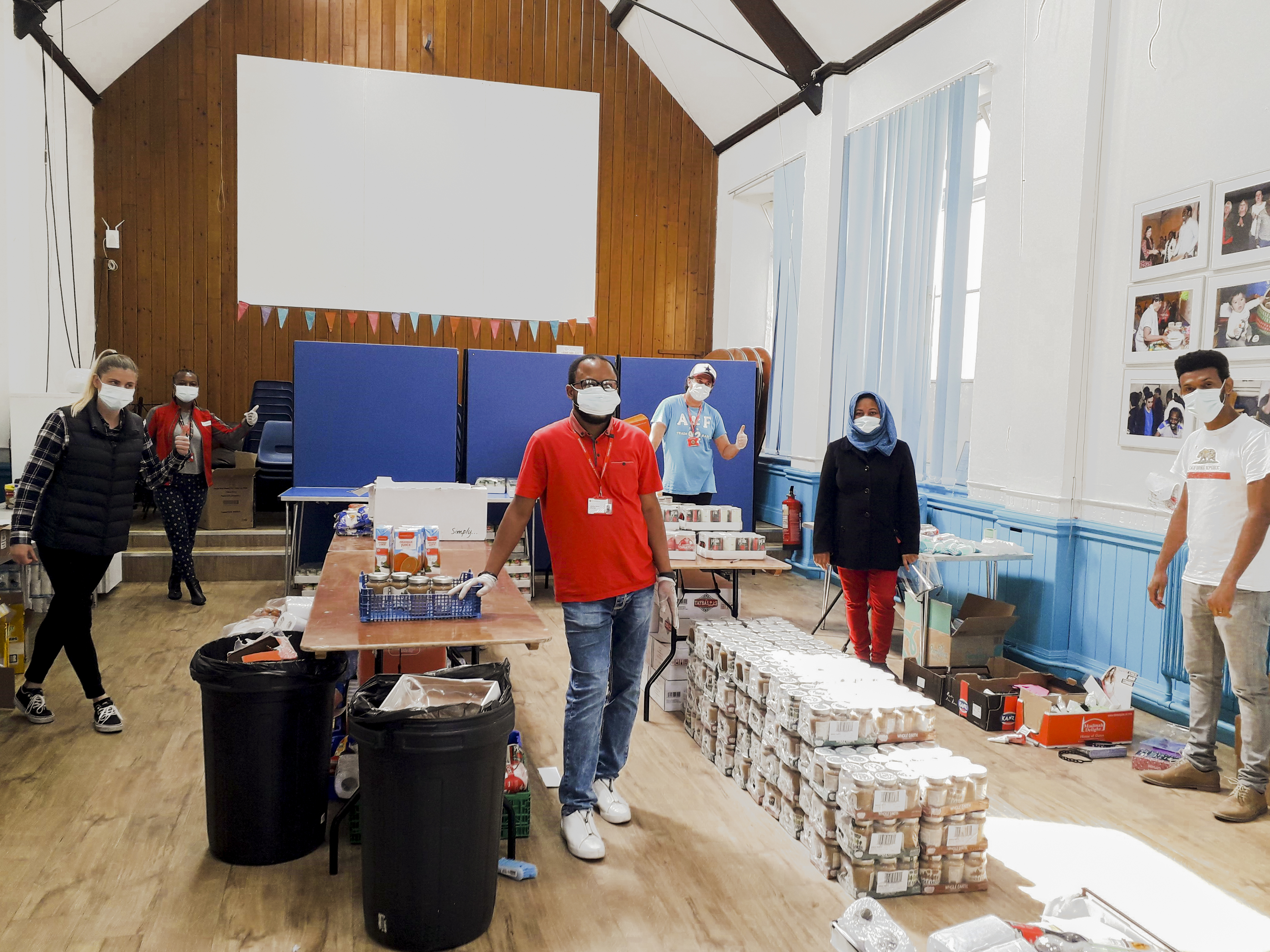
British Red Cross
Migrating to the latest ArcGIS technology enabled us to accelerate the development of a suite of GIS apps and tools that are now helping us respond to emergencies, alleviate health inequalities and supporting displaced or migrating people.
Continue Reading
NHS South, Central and West
The use of ArcGIS for geospatial analysis, temporal modelling and data sharing helped the NHS to plan and deliver a world-leading COVID-19 vaccination programme.
Continue ReadingHow might GIS help plan a mass vaccination programme?
The first batch of the Covid-19 vaccine has reached the UK and the first vaccinations are underway. The initial availability of the vaccine will is limited, but the hope is that as other vaccine programmes move from trials to release … Continue reading
Continue ReadingUK COVID-19 Service in the Living Atlas
Update Since the blog was originally posted the historic data tables have been added to the service. The field details are below The service Esri UK’s “UK COVID-19 Data” is a feature service containing coronavirus (COVID-19) data automatically updated from … Continue reading
Continue ReadingHelping to understand the spread of COVID-19 with ArcGIS
Working in the Research Team at Esri UK, I get a lot of opportunities to use new and emerging technologies. In time, much of the early technology we work with goes on to help our customers do great things. But … Continue reading
Continue Reading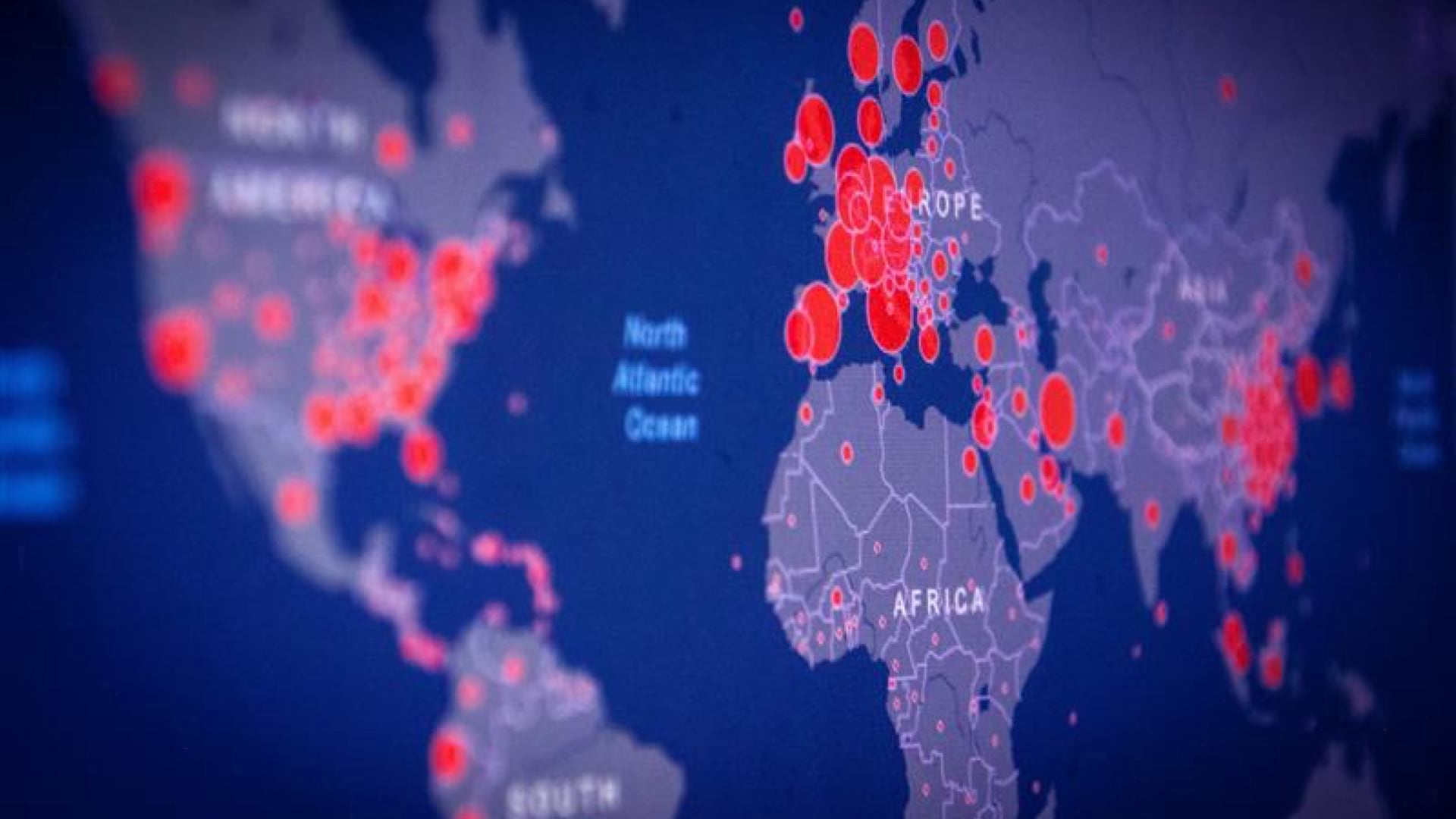
The Science and Scientist Behind the Johns Hopkins Coronavirus Dashboard
Dr. Lauren Gardner from Johns Hopkins talks about the origin and evolution of the Johns Hopkins COVID-19 dashboard.
Continue ReadingUsing ArcGIS Online for managing sensitive COVID-19 related data in the UK
There are many amazing examples of GIS being used to help understand and respond to the COVID-19 crisis. In the UK, hundreds of organisations are using ArcGIS Online’s cloud-based tools to manage, analyse and communicate key data related to the crisis. … Continue readin
Continue ReadingArcGIS Insights for COVID-19 Analytics
The COVID-19 pandemic has presented governments, businesses and individuals with unprecedented challenges. During times of crisis, the ability to quickly extract intelligence from our data is of paramount importance. Through Esri’s Disaster Response Program (DRP) organisations can get complimentary access … Continue Reading
Get started with the Esri COVID-19 software
The very nature of a pandemic makes geographic data a key part of tracking and responding to it, at international, national and local levels. In response to the unfolding crisis, Esri launched a global initiative to provide mapping software and … Continue reading
Continue Reading