Tag Archives: Living Atlas
Explore the 2021 Census data with ArcGIS Living Atlas
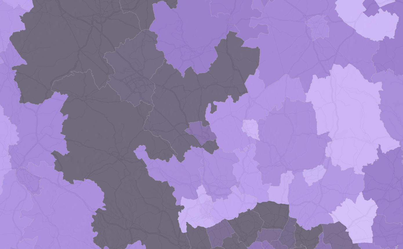
Back in 2021, many of us in England and Wales may remember filling in the many pages of the census. Since then, much of the data has been processed by the Office for National Statistics and is starting to become … Continue reading
Continue Reading
Important Update for Office for National Statistics Datasets in ArcGIS Living Atlas
The Office for National Statistics (ONS) are currently undergoing migration of their feature layers to ArcGIS Online. ONS services in the Living Atlas will be removed and replaced with new services. Read on to find out how it might affect … Continue reading Continue Reading
Your Living Atlas Autumn Roundup
For this Q3 update, we have welcomed 26 new datasets and 3 new contributors to Living Atlas – Met Office, Rural Payments Agency and Digital Health and Care Wales! As of today, UK Living Atlas has 632 items and 57 … Continue reading
Continue Reading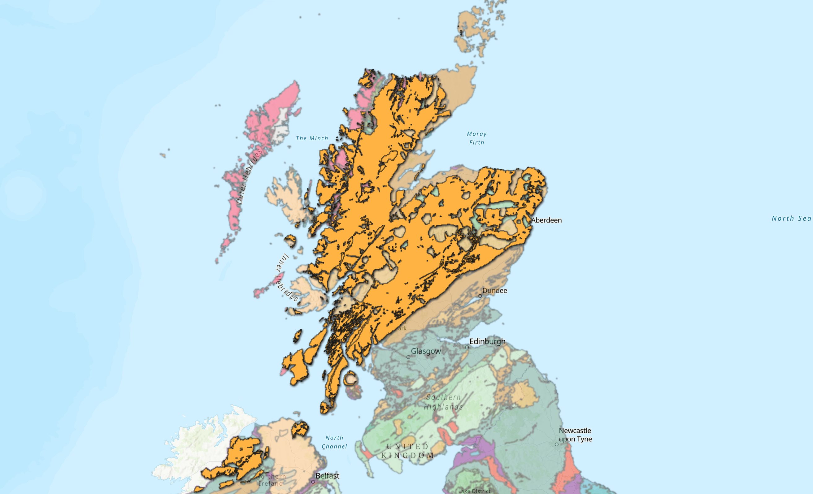
Digging into the New British Geological Survey Geology Data
Ever wondered what’s going on right beneath your feet? If your answer is yes, then keep reading to find out about our latest edition to the Living Atlas. The ArcGIS Living Atlas of the World is an evolving collection of … Continue reading
Continue ReadingHot off the press: Your ArcGIS Living Atlas of the World summer updates
It’s been a jam-packed last few months for the UK Living Atlas. For this summer update, we have welcomed 134 new datasets and four new contributors including: the British Antarctic Survey, Welsh Government, Marine Scotland (part of the Scottish Government) and … Continue re
Continue ReadingLand Cover – find out what your city is made of!
The makeup of our cities plays a key role in our day to day lives and how we interact with our environment. To get a better understanding of where we live, we’ll be exploring what land cover our cities consist … Continue reading
Continue ReadingSpring into action with these updates on ArcGIS Living Atlas of the World
The days are brighter, daffodils are blooming which only means one thing – spring has finally sprung! Like the daffodils, ArcGIS Living Atlas of the World is growing. Since our last winter update, there are 28 new UK datasets and … Continue reading
Continue ReadingExploring the British Geological Survey subsidence hazard data
Climate change is affecting the risk of subsidence in Britain. The impact on ‘shrink-swell’ is described in this British Geological Survey article, but can be summarised as higher temperatures and drier conditions leading to increased soil shrinkage – or subsidence. With … Cont
Continue ReadingCreating Vector Tiles
You might have heard about vector tiles recently but not yet used them. Here I will explain what they are, why you should consider using them and how to create them. What are vector tiles? Vector tiles contain vector representations … Continue reading
Continue ReadingOpenStreetMap® Daylight: a community map with peace of mind
In Summer 2018, Esri released a number of vector basemaps using OpenStreetMap (OSM) data exclusively. With the benefit of regular updates and being free for all ArcGIS users and developers to use, these basemaps have proven very popular. This week, … Continue reading