Tag Archives: ArcGIS Dashboards
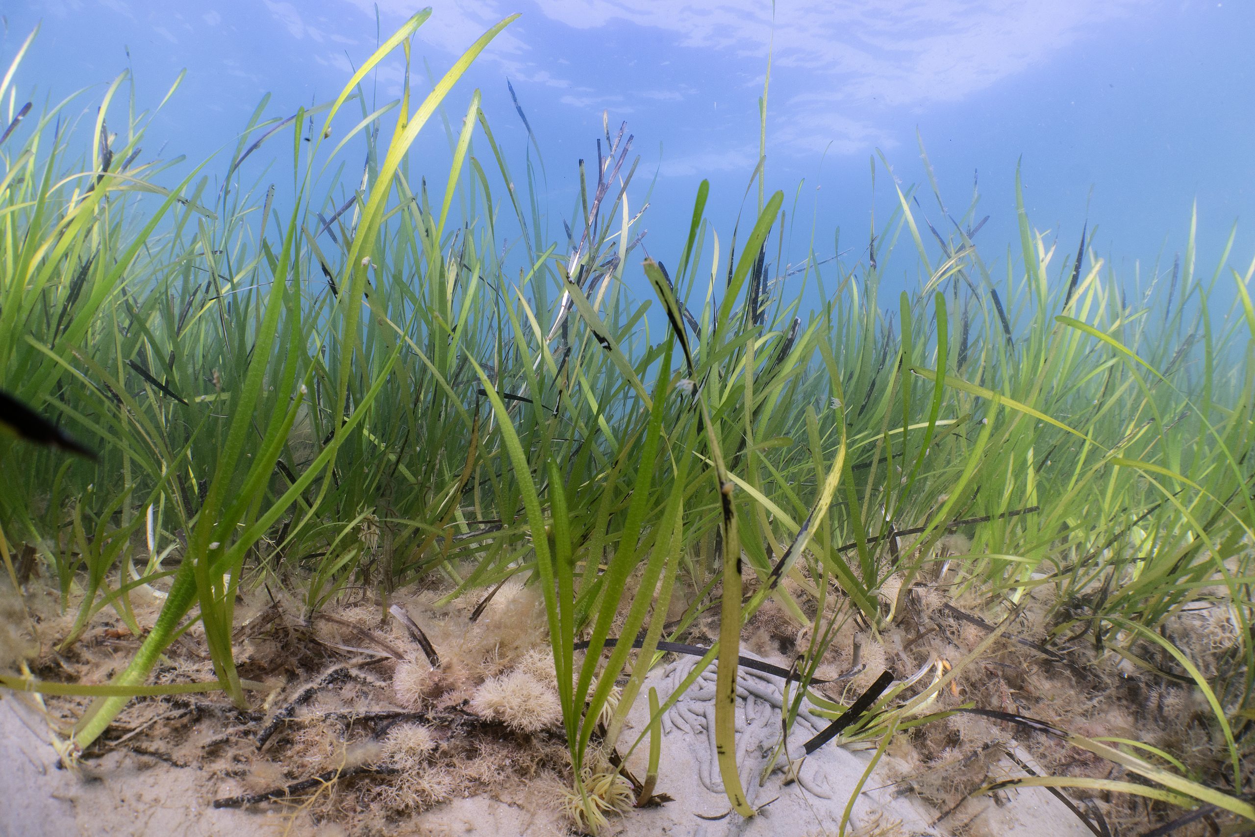
Ocean Conservation Trust
We are using a suite of ArcGIS solutions to help us protect, regenerate and restore the UK’s seagrass meadows.
Continue Reading
Scottish Wildlife Trust
With more accessible data, available in real-time, we can be more effective in our efforts to save Scotland’s native red squirrels.
Continue Reading
Police Scotland
We have successfully leveraged ArcGIS technology to digitise and modernise missing persons search operations, anticipating significant resource and cost savings which can be redirected to other policing priorities.
Continue Reading
Natural England
Having identified the need for a digital spatially led approach we have developed a solution using ArcGIS Field Maps, ArcGIS Survey123, ArcGIS Experience Builder and ArcGIS Dashboards that is helping our advisors perform their jobs more efficiently.
Continue Reading
Sovereign Network Group
We have leveraged the existing capabilities of Power BI and ArcGIS to realise powerful new analytical insights, with our Community Indicator Model, to support more informed community investment decisions.
Continue Reading
Sport England
The redevelopment of a pivotal data visualisation and analysis solution in ArcGIS is delivering benefits across the sport sector.
Continue ReadingArcGIS update – spring 2025
February saw releases and updates across several parts of the ArcGIS system, so we wanted to provide a summary of all the updated products and share key links so you can find out more. I know it wasn’t quite spring, … Continue reading
Continue Reading
TACP
ArcGIS is embedded into everything we do and supports all aspects of our environmental projects.
Continue Reading
Scottish Fire & Rescue
With an ArcGIS-based risk model, we can be better prepared for emergencies right across Scotland.
Continue Reading
Crimestoppers
Crimestoppers provides police forces with exclusive information and ArcGIS Dashboards plays a vital role in sharing this accurate and insightful data, driving more impactful local crime prevention campaigns.
Continue Reading