Tag Archives: ArcGIS Pro
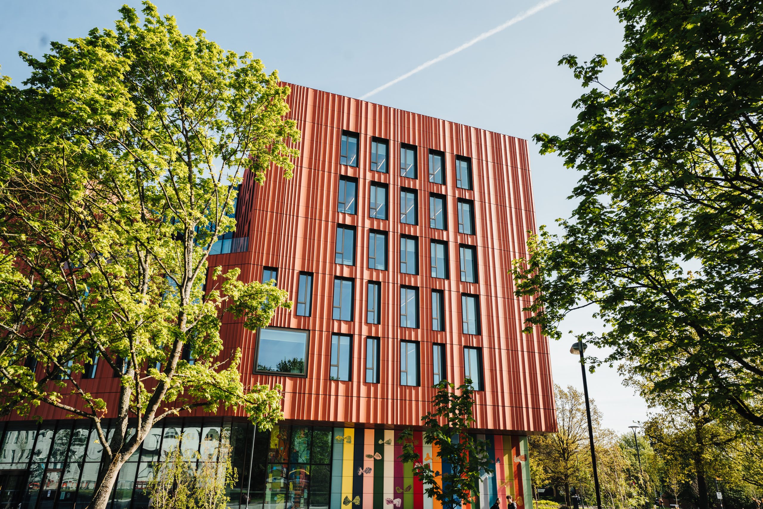
The University of Warwick
Visualising, understanding and managing a 200-hectare campus is now so much easier with a Digital Campus, built with ArcGIS.
Continue Reading
Best practices in ArcGIS Pro – setting up your workplace
Whether you are a seasoned GIS user or new to ArcGIS Pro, your operating of ArcGIS Pro will be improved by considering the configuration of it. Whenever I create an ArcGIS Pro project, or teach others how to, I always … Continue reading
Continue Reading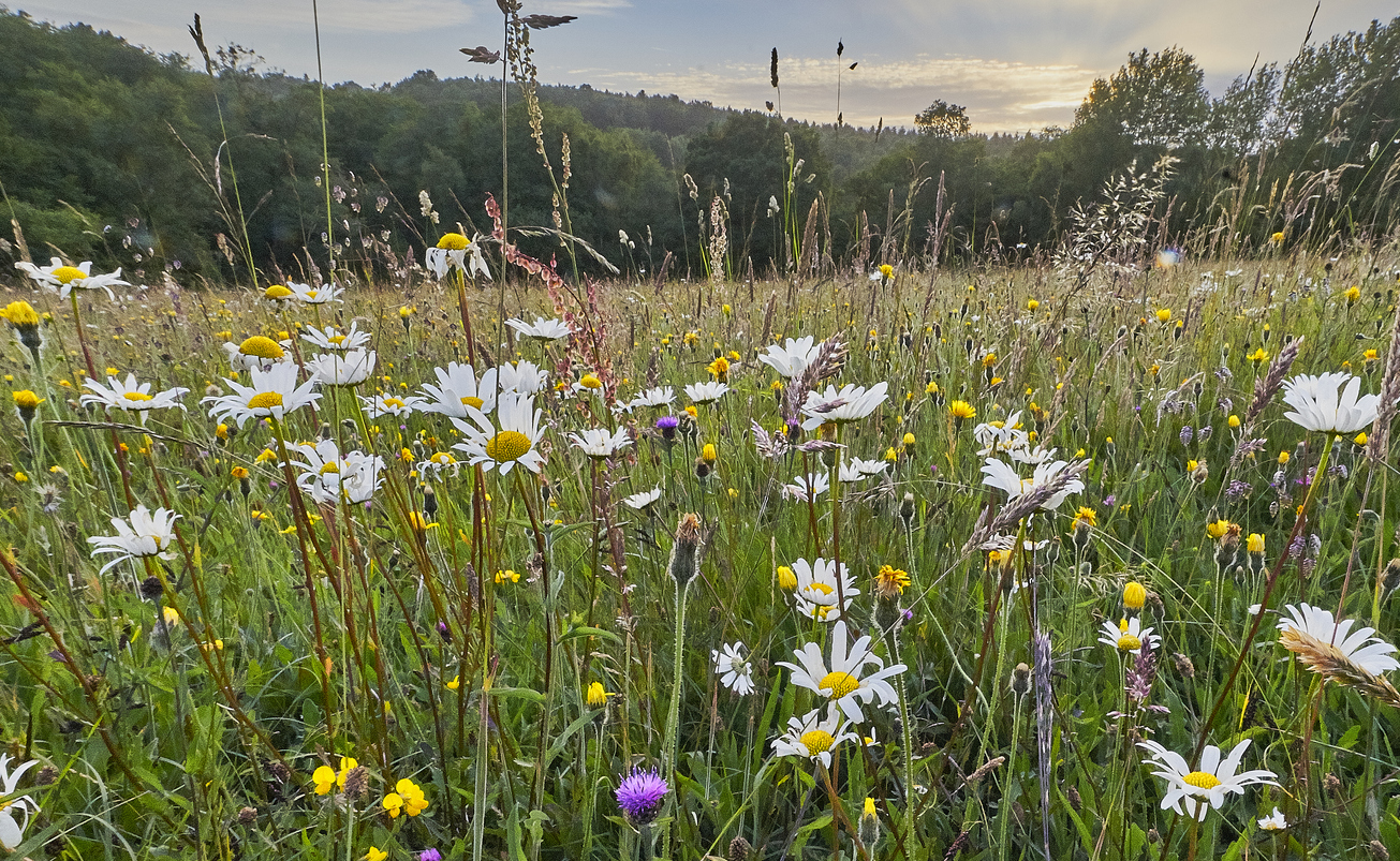
AtkinsRéalis
We are using ArcGIS Portal, ArcGIS Pro and ArcGIS Field Maps to drive the AtkinsRéalis SpatialCDE, used by multiple stakeholders to make construction projects more efficient while driving Biodiversity Net Gain.
Continue Reading
Thames Water
We are proactively addressing the data sharing requirements, and the needs of internal and external stakeholders with our end-to-end geospatial portal, built with ArcGIS Enterprise and ArcGIS Online.
Continue Reading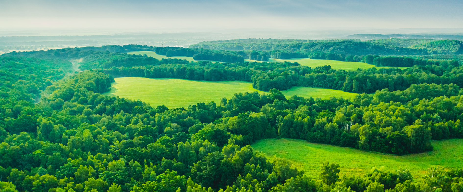
Fauna & Flora
Creating a single GIS platform for the whole organisation with ArcGIS has led to a 580% increase in GIS usage and transformed the way that we analyse, visualise and communicate conservation priorities.
Continue Reading
Amey
Using the powerful analysis and data visualisation capabilities of ArcGIS Pro and ArcGIS Dashboards, we have turned big data into business insight.
Continue Reading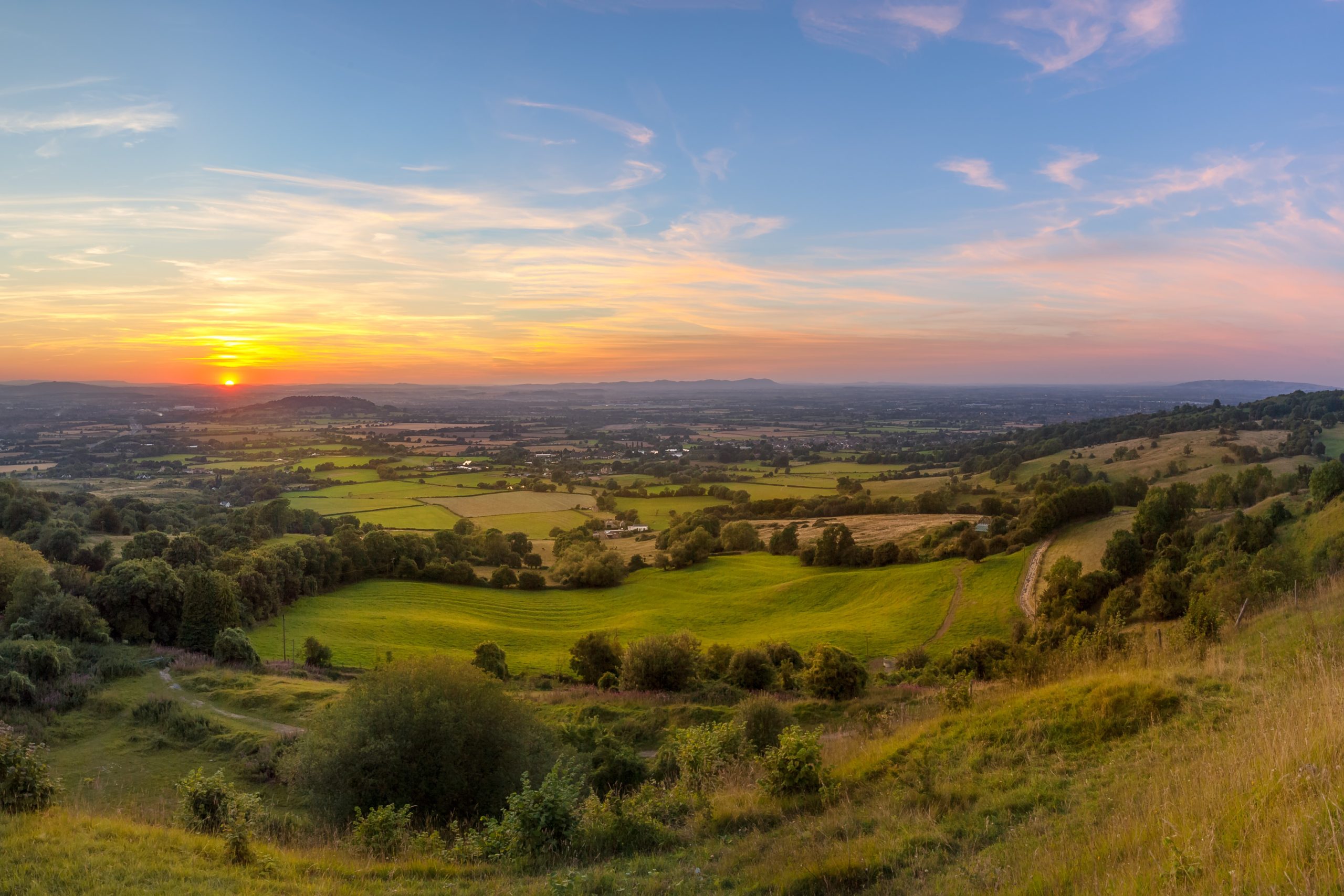
Cotswolds National Landscape and Triage
We have used ArcGIS Pro, ArcGIS Online, ArcGIS Dashboards and ArcGIS StoryMaps to create a next generation story-telling tool that will inform landscape, community and conservation strategies for generations to come.
Continue Reading
RUSI
We analyse complex, evolving military situations with ArcGIS Pro, providing actionable intelligence from open source geospatial data.
Continue Reading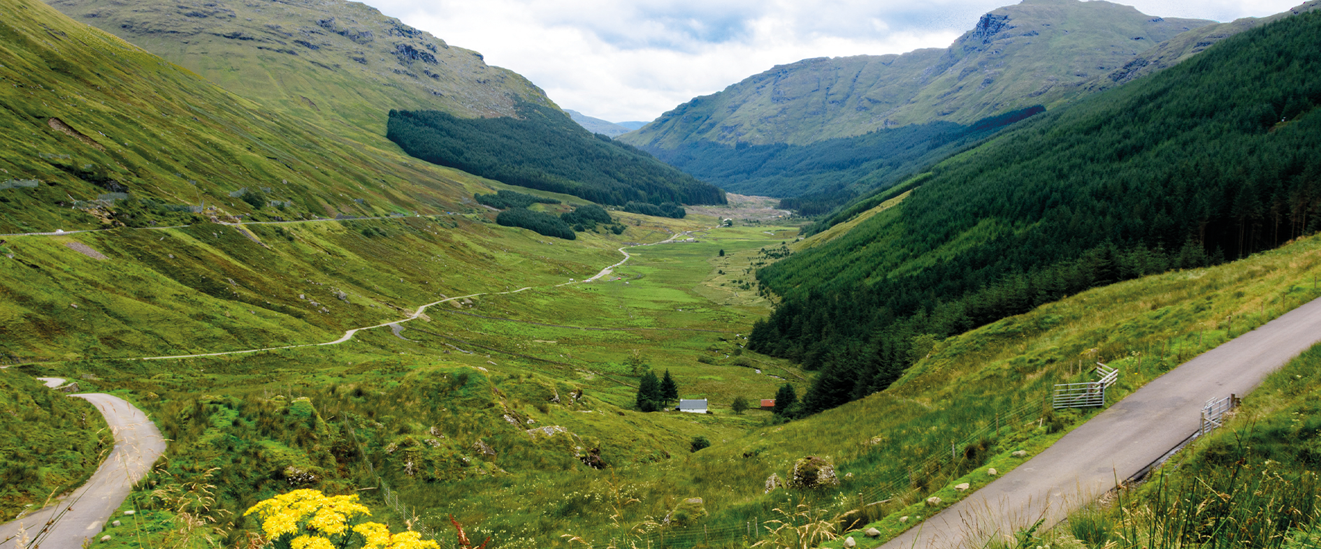
AECOM
In a challenging project to survey a hillside notorious for landslides, ArcGIS improved safety and efficiency.
Continue Reading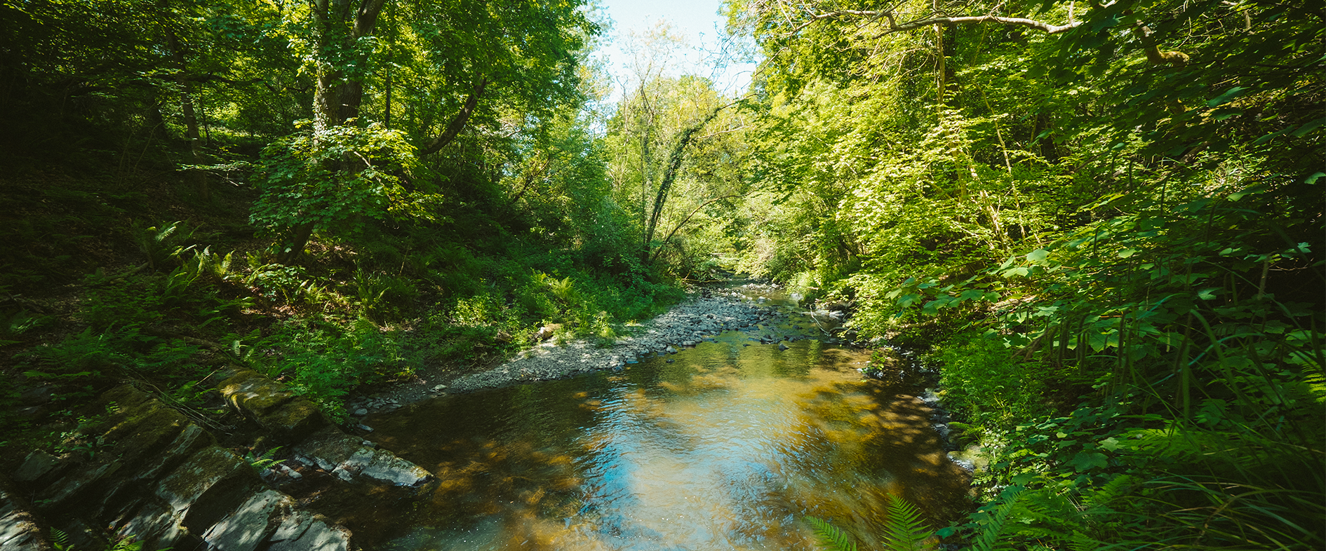
Oxygen Conservation
In strikingly beautiful and unique landscapes across the UK, we are using ArcGIS to understand the potential of natural capital and measure the positive impact of conservation initiatives.
Continue Reading