Tag Archives: ArcGIS QuickCapture
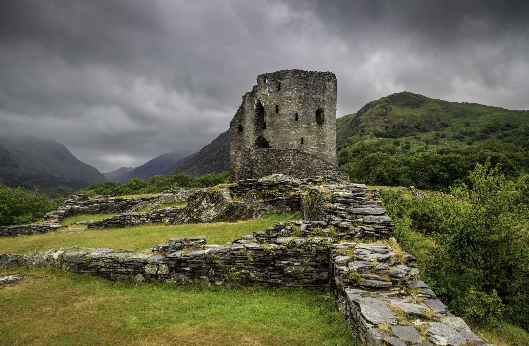
Royal Commission on the Ancient and Historical Monuments of Wales
We are providing insight into 400 years of landscape change by bringing ancient maps back to life in ArcGIS
Continue Reading
Scottish Fire & Rescue
With an ArcGIS-based risk model, we can be better prepared for emergencies right across Scotland.
Continue Reading
Crimestoppers
Crimestoppers provides police forces with exclusive information and ArcGIS Dashboards plays a vital role in sharing this accurate and insightful data, driving more impactful local crime prevention campaigns.
Continue Reading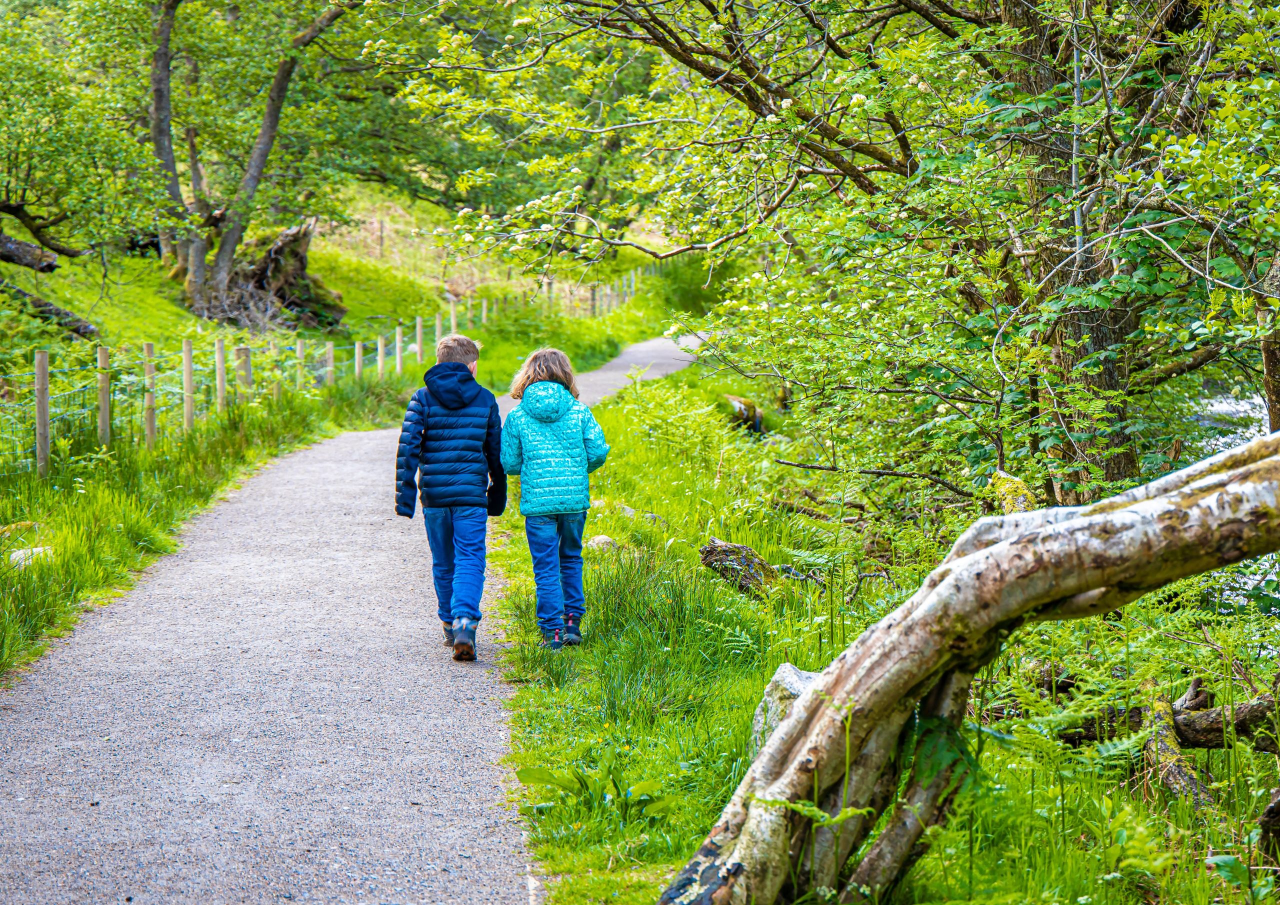
NatureScot
With funding from the Scottish Government, we have created a toolkit of digital solutions to help pupils learn about biodiversity and climate change and take positive action to improve their school grounds for nature.
Continue Reading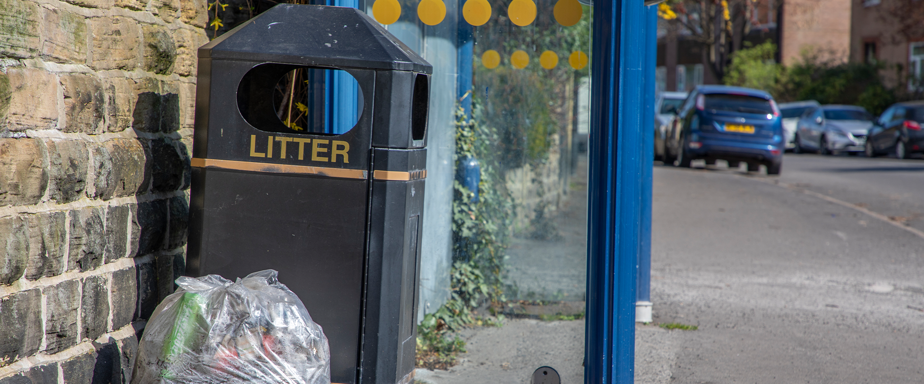
City of Doncaster Council
With real-time, accurate data on litter collections and the condition of bins, we are improving the efficiency, quality and sustainability of our litter services.
Continue Reading